  1 MT. HUMPHREYS |
 2 |
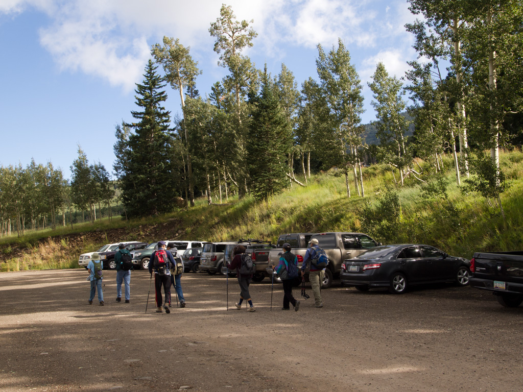
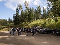
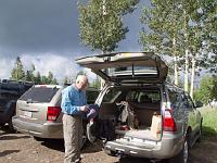
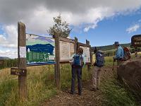
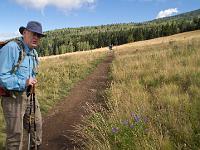
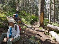
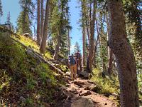
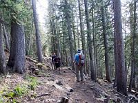
 3 We start from the "lower parking," specifically for the trailhead, 300' of altitude lower than the Snow Bowl parking, but not closing early. |
 4 |
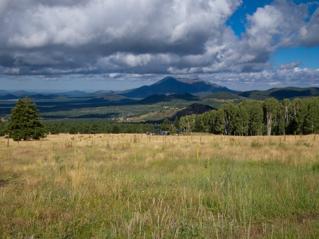
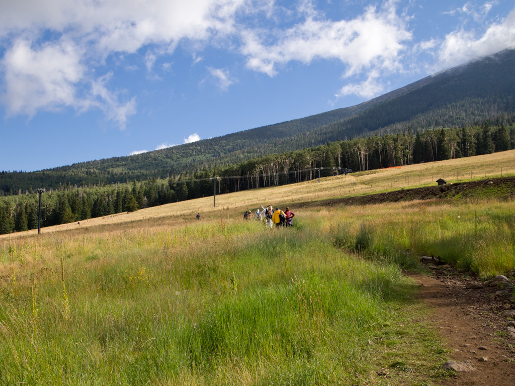
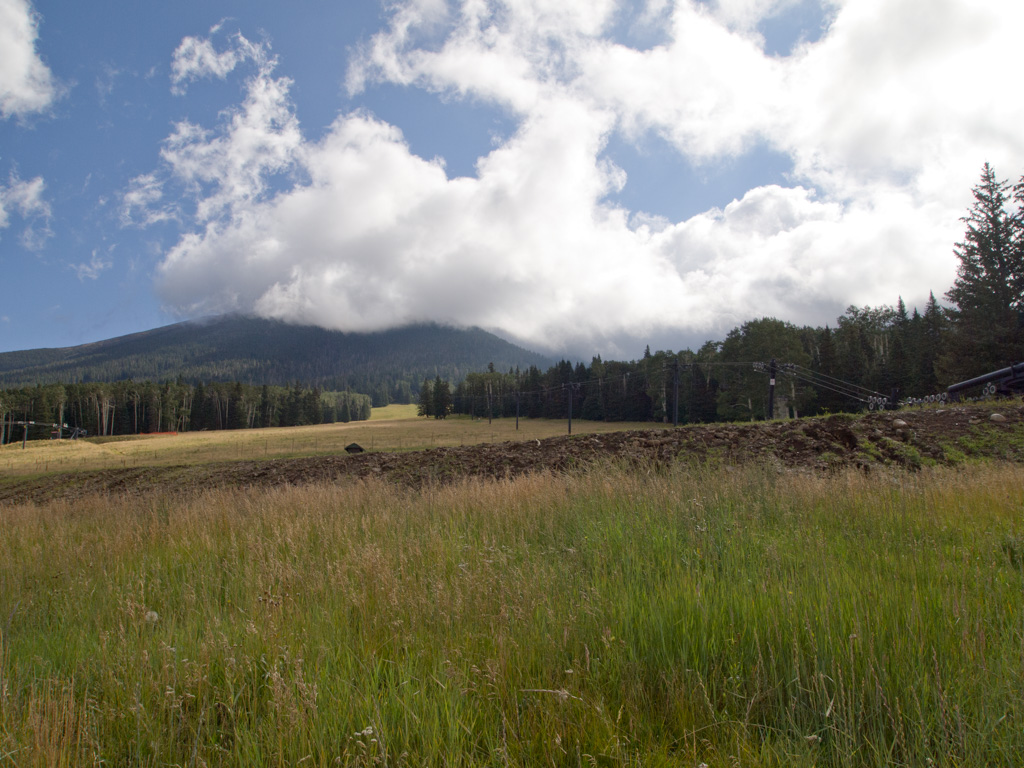
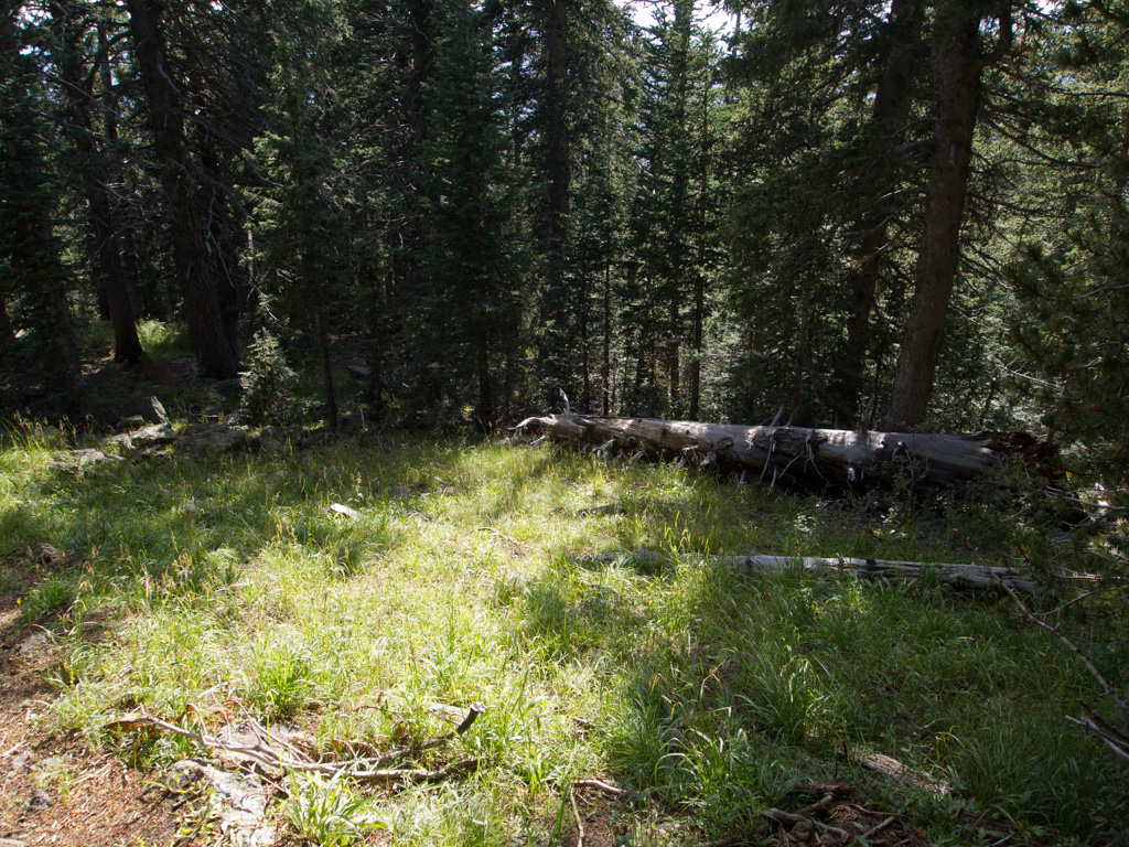
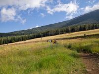
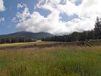
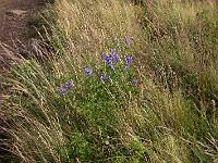
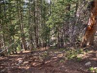
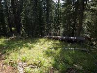
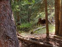
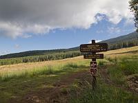 5 This broad meadow is actually the lowest ski run |
 6 |
 7 |
 8 |
 9 |
 10 |
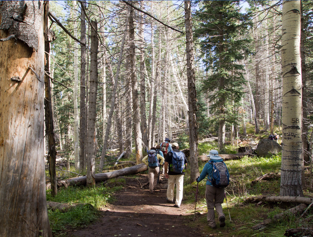
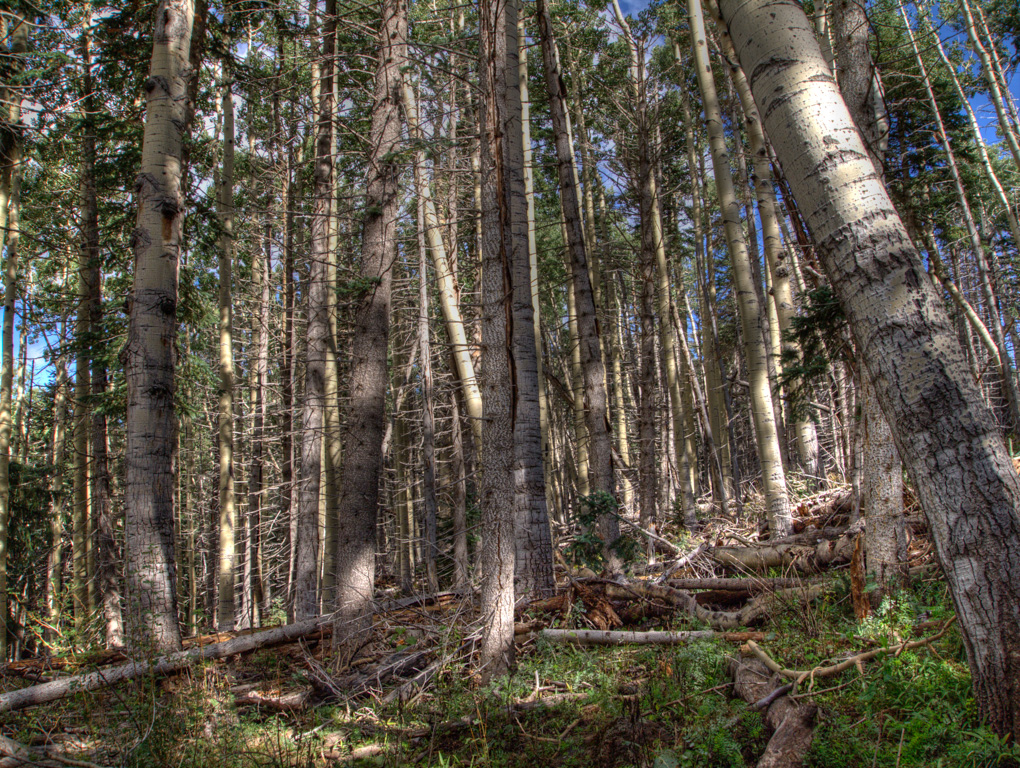
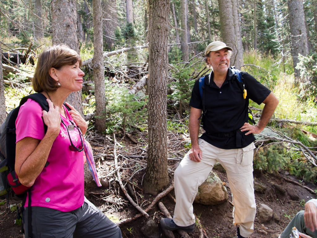
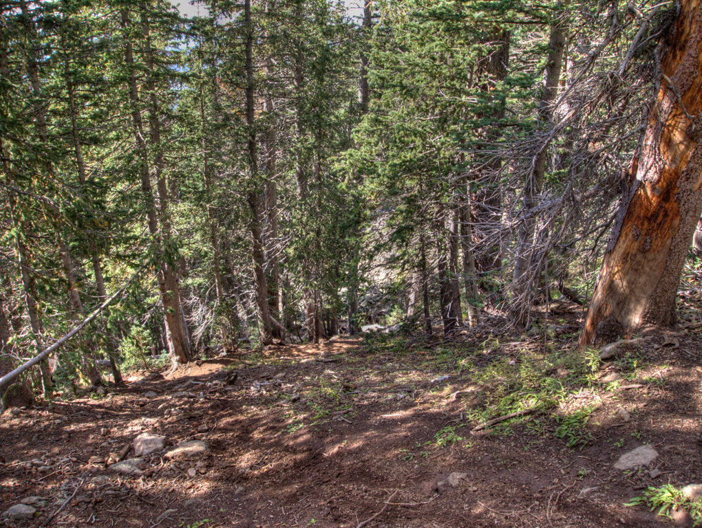
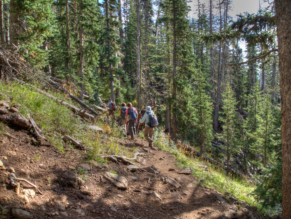
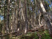
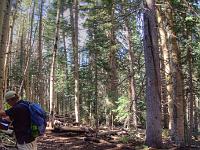
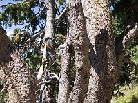
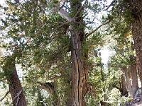
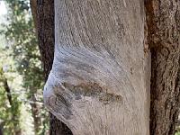
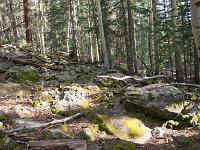
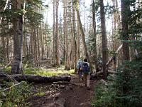
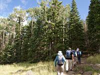 11 Entering Arizona's only rainforest |
 12 |
 13 |
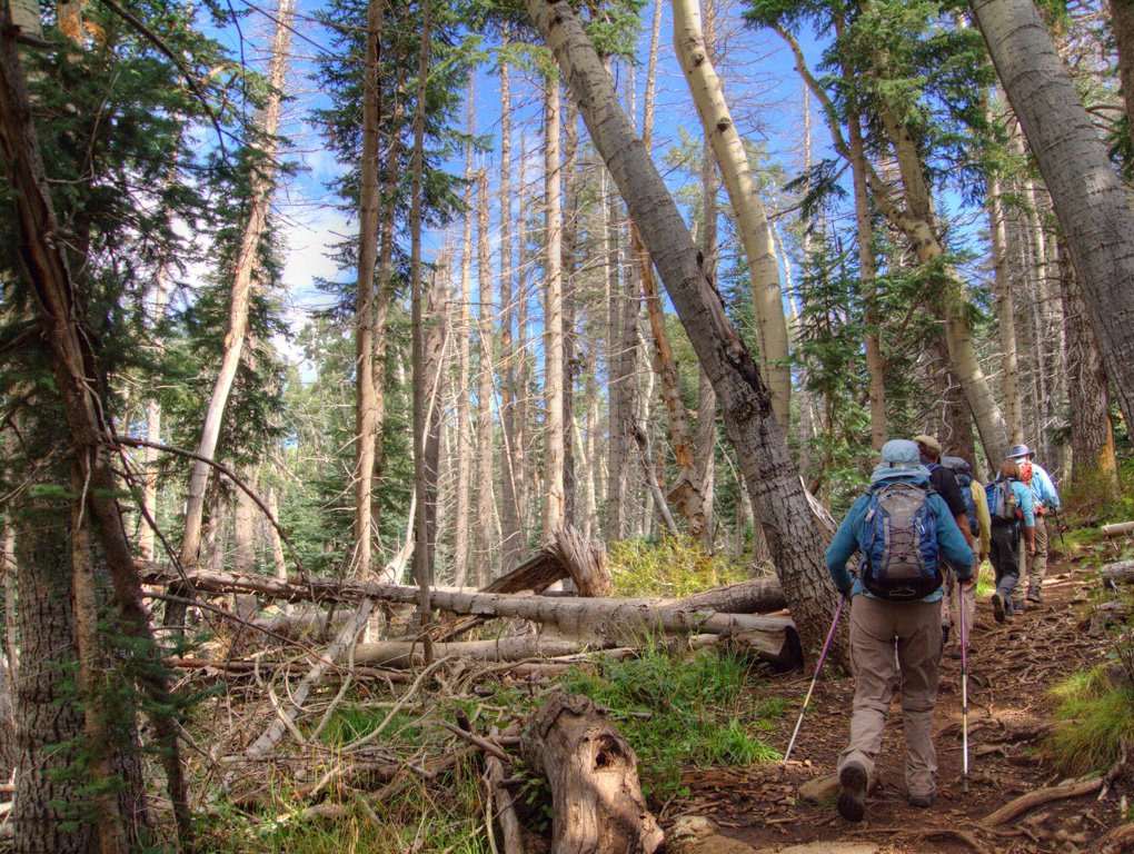
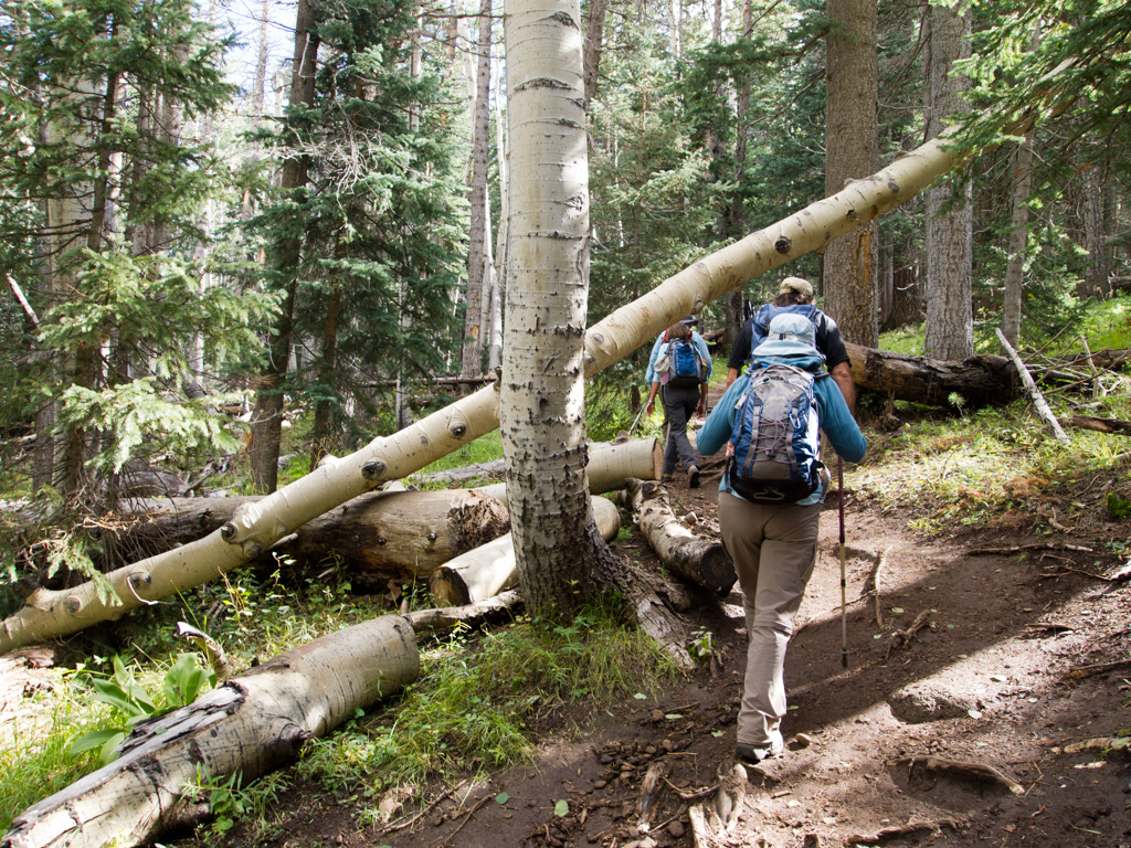
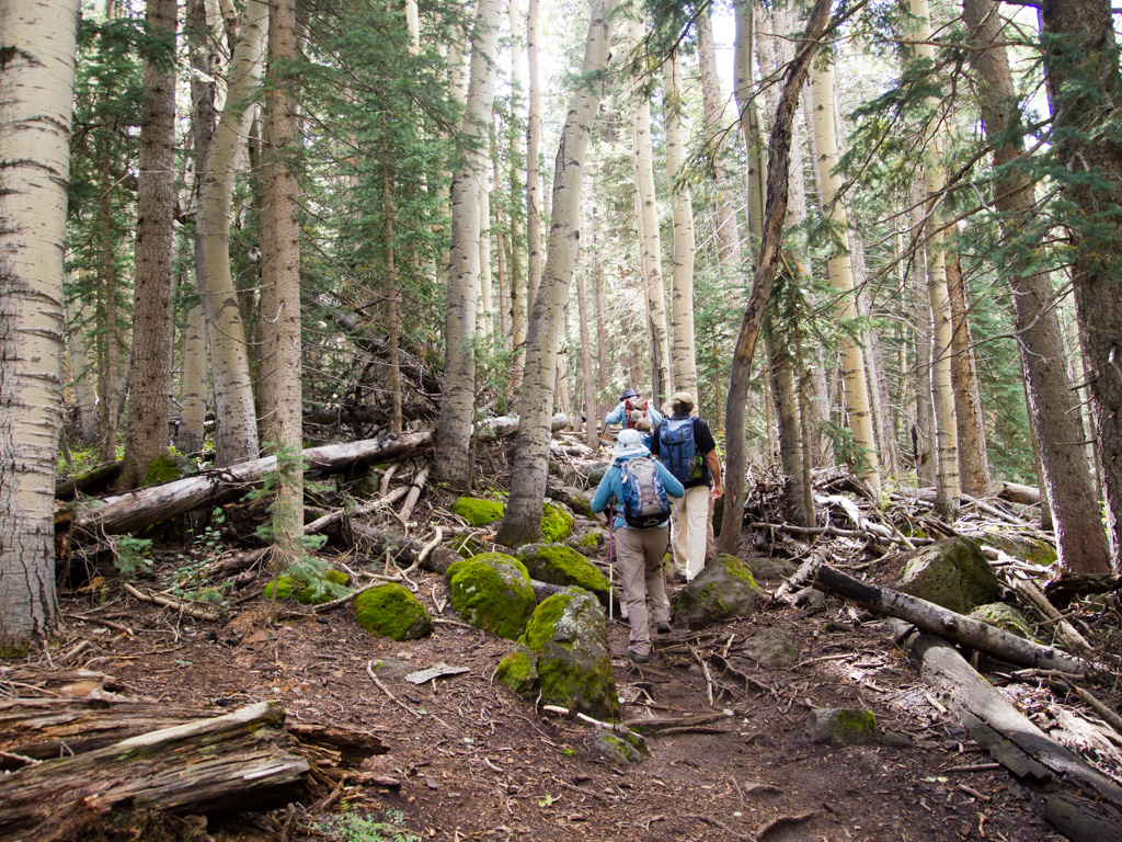
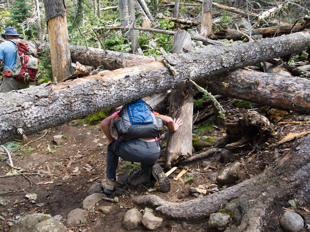
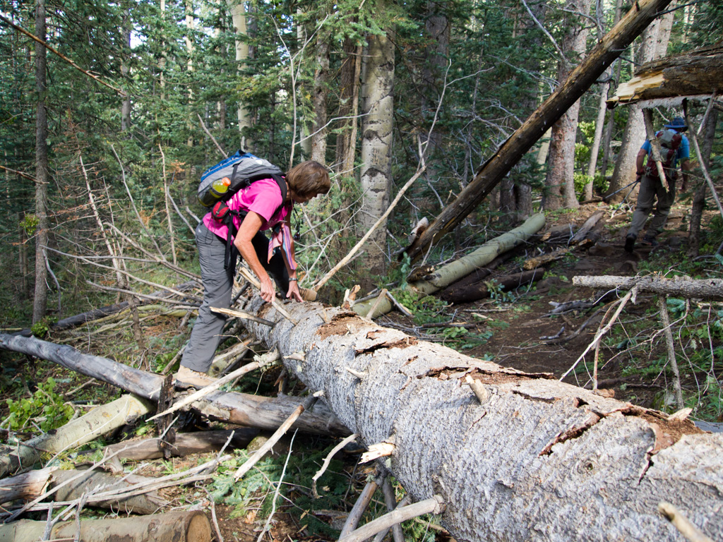
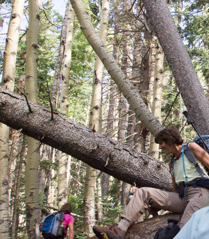
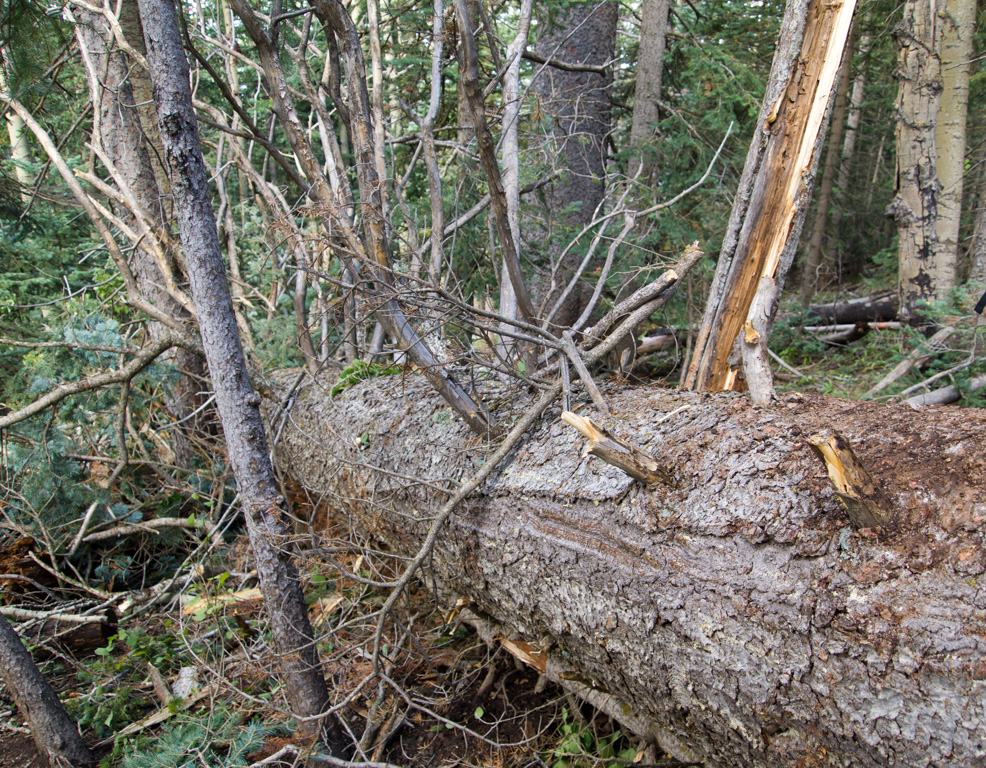
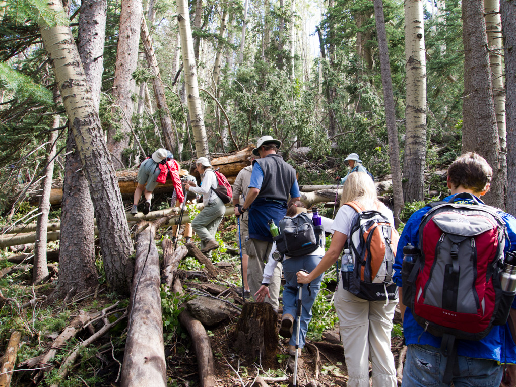
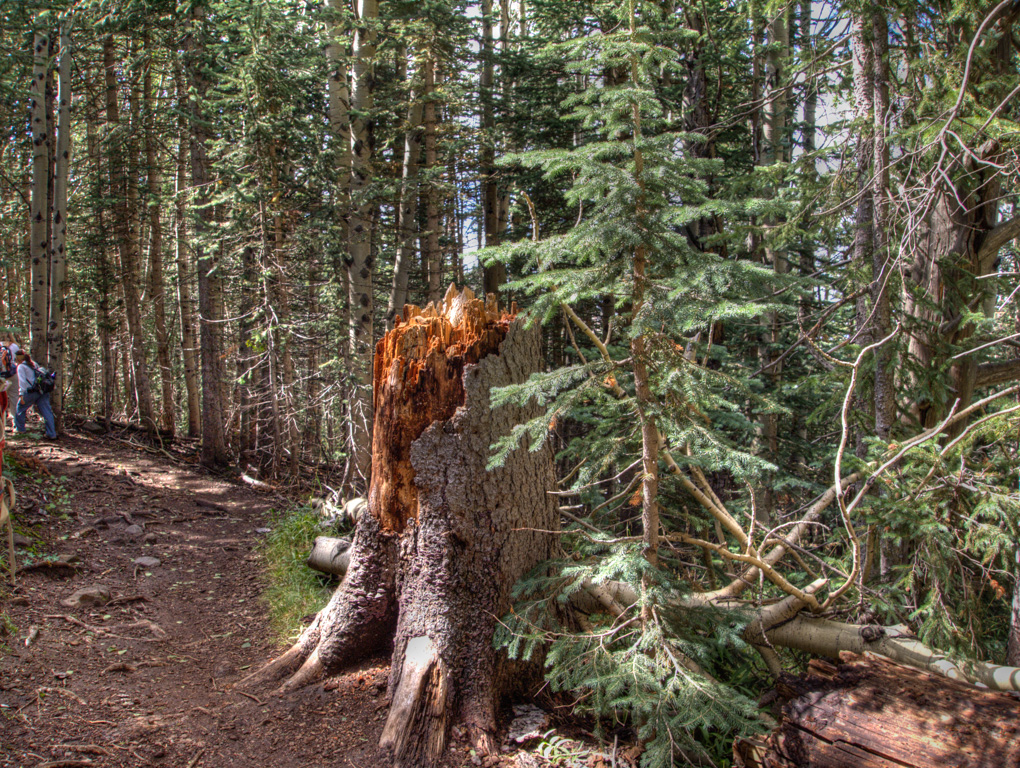
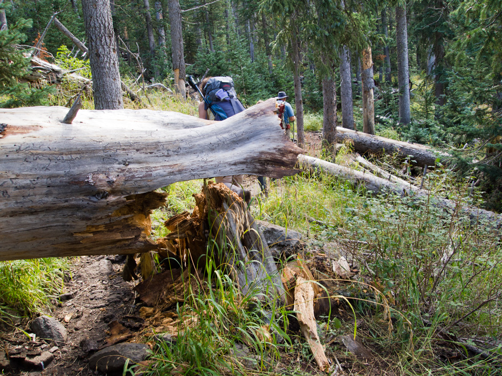
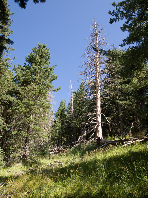
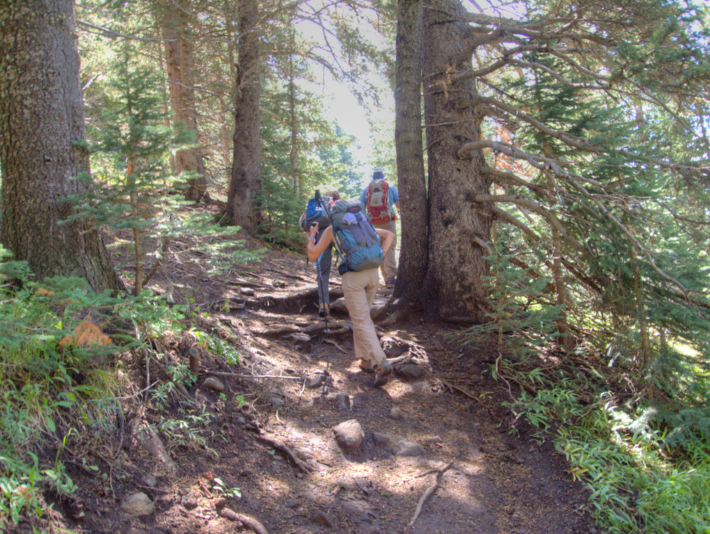
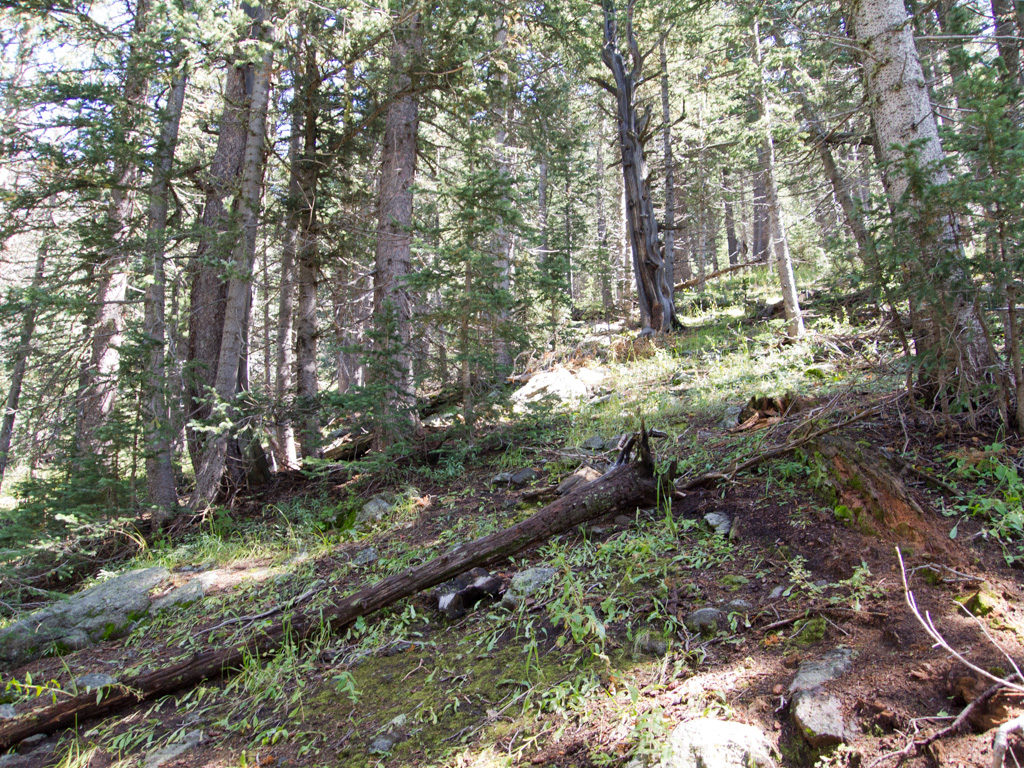
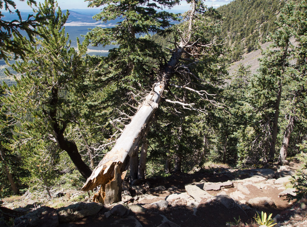
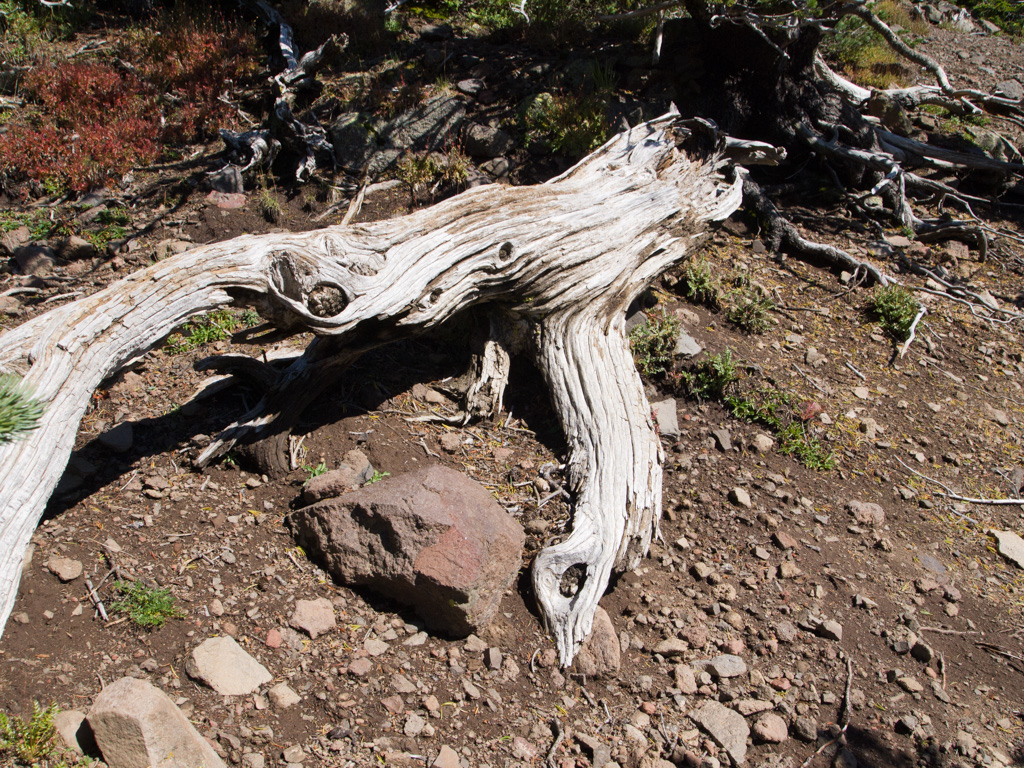
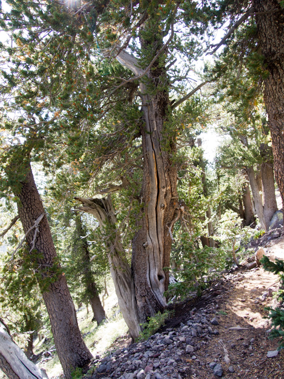
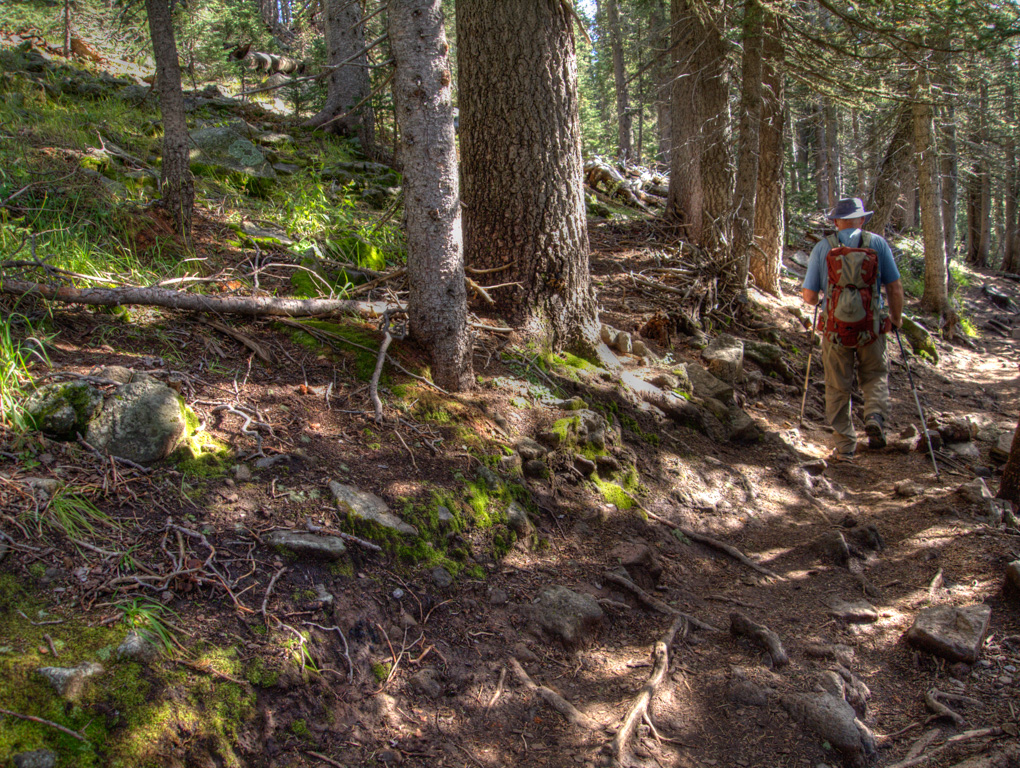
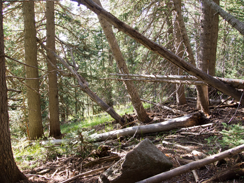
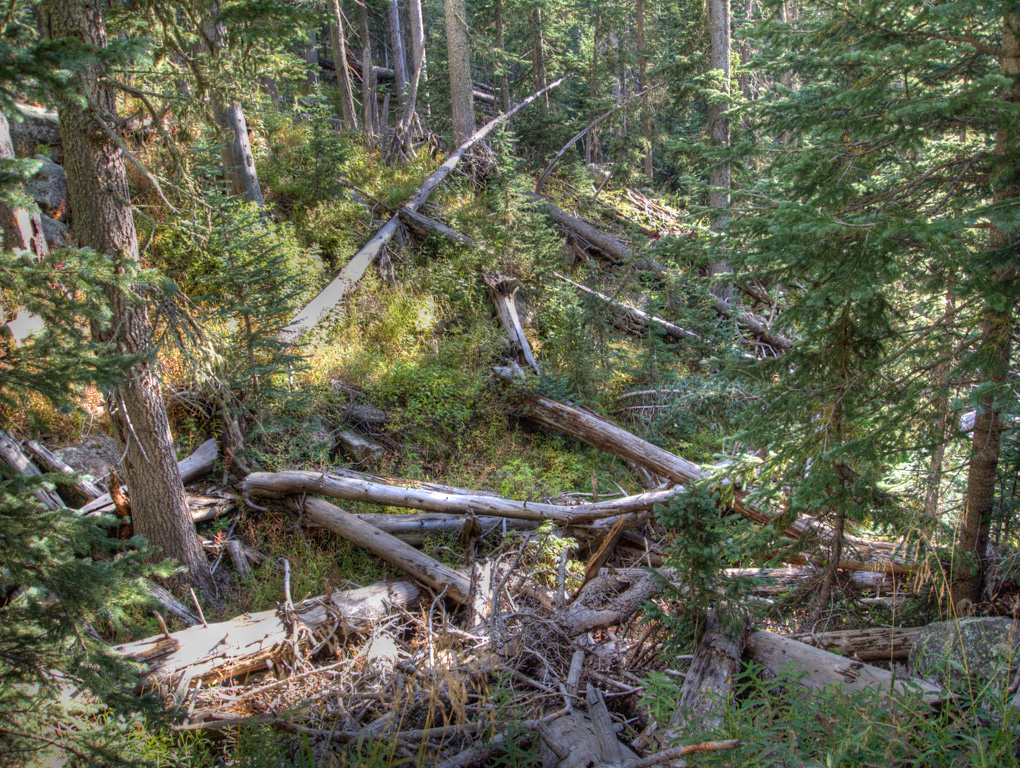
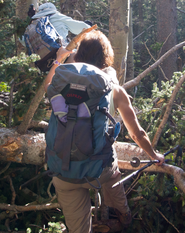
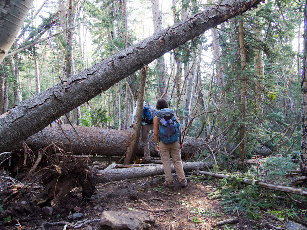
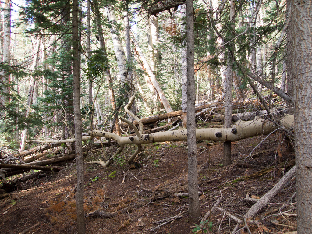
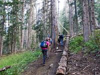
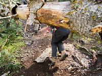
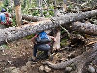
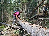
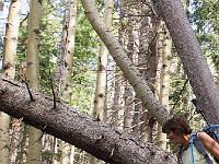
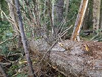
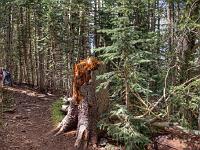
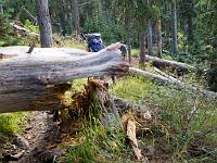
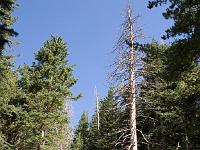
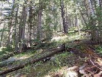
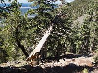
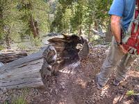
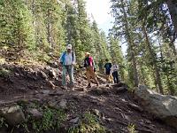
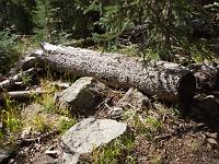
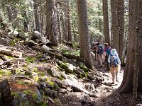
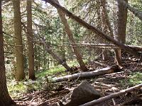
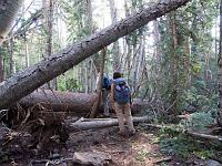
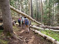
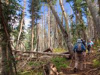 14 Recently, severe winds felled large numbers of aspen and fir, blocking the Weatherford Trail. A portion of it was still uncleared this day. |
 15 |
 16 |
 17 |
 18 |
 19 |
 20 |
 21 |
 22 |
 23 |
 24 |
 25 |
 26 |
 27 |
 28 |
 29 |
 30 |
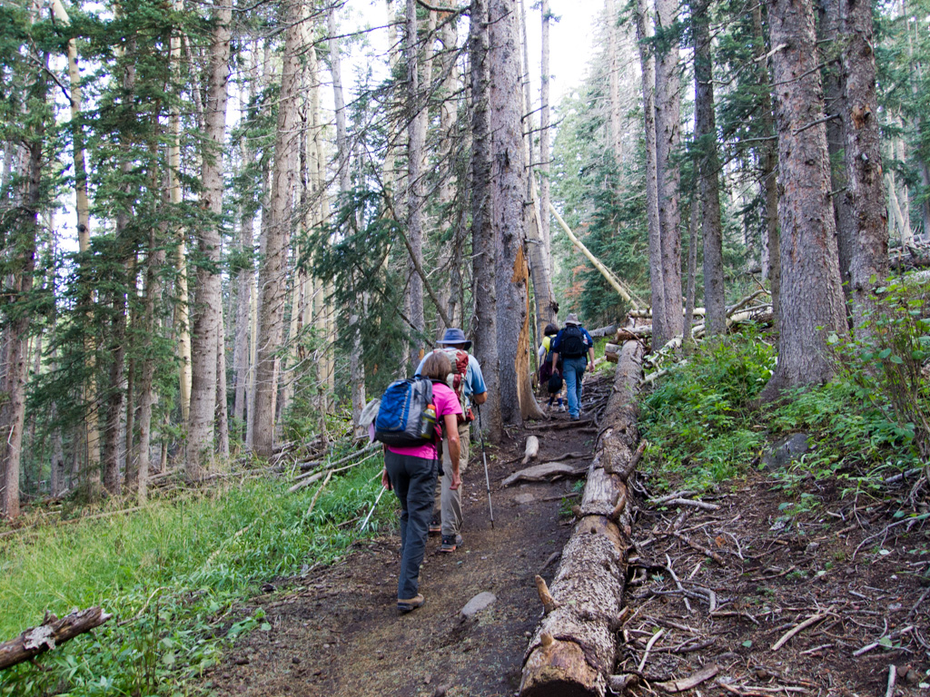
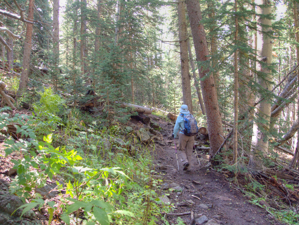
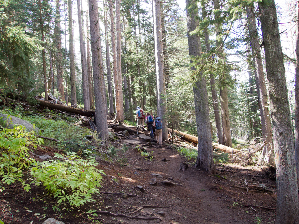
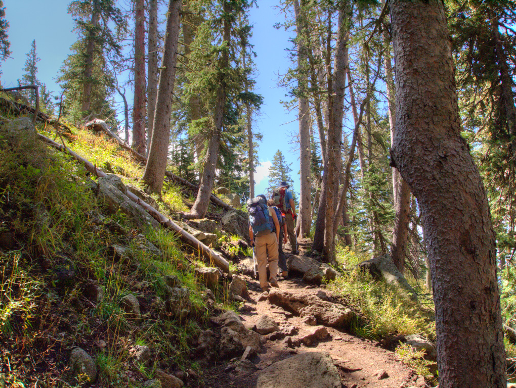
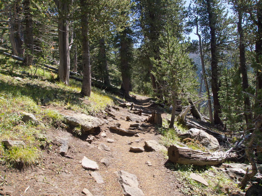
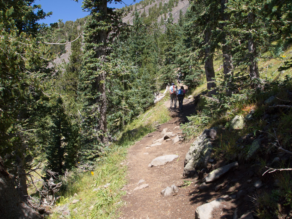
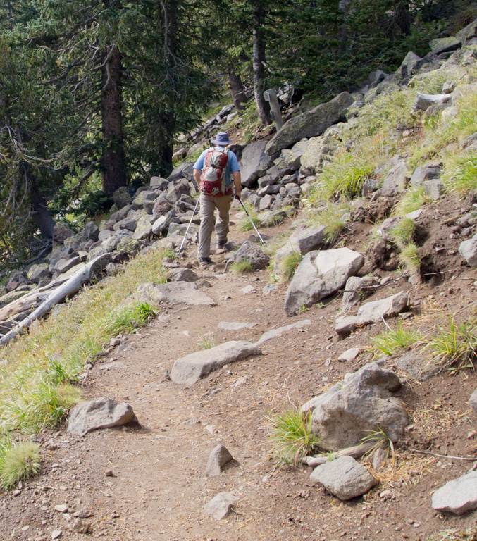
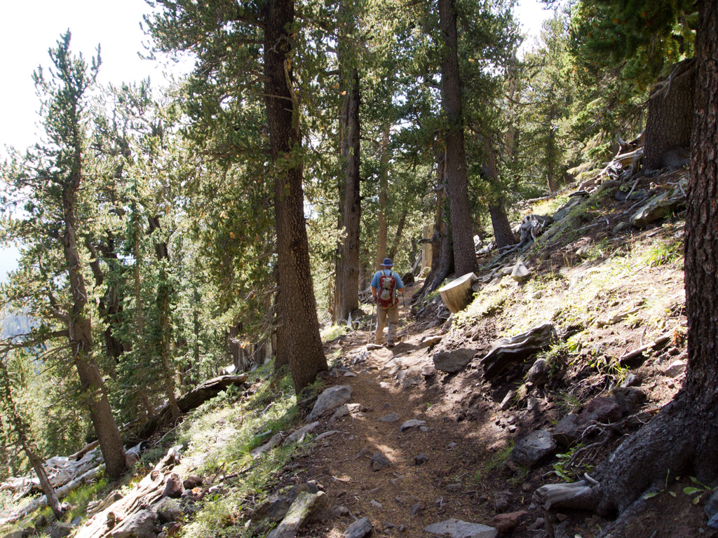
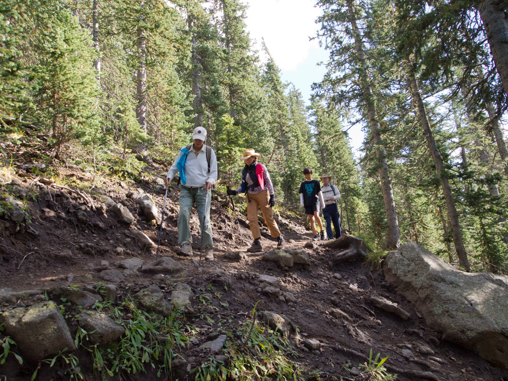
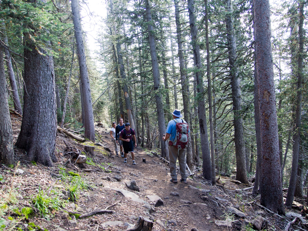
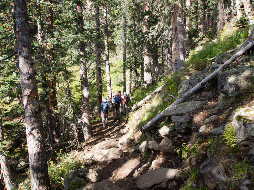
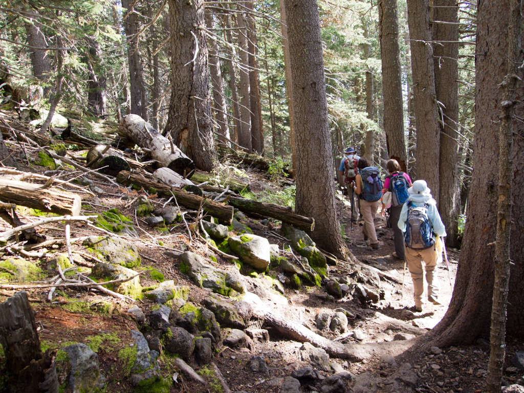
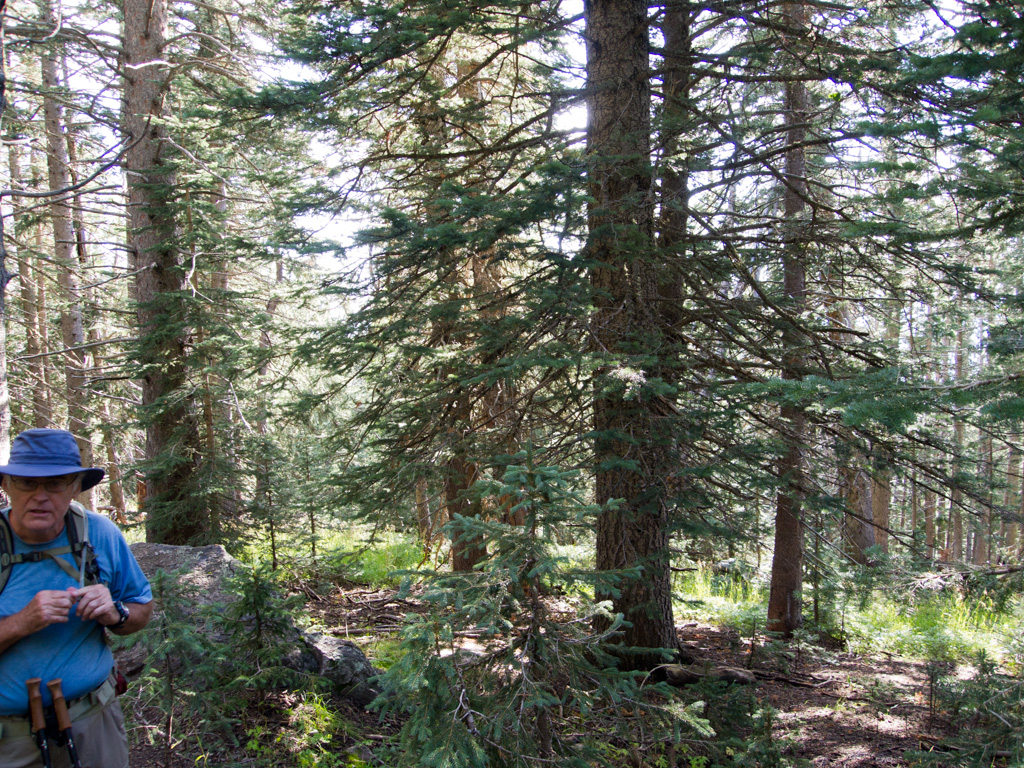
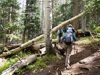
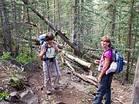
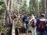
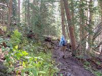
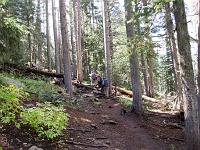
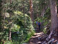
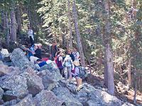
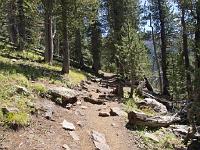
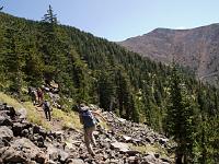
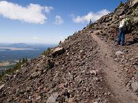
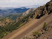
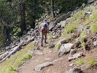
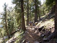
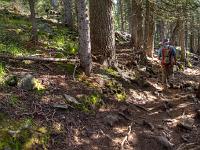
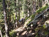
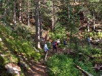
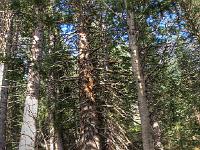
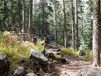 31 Past the deadfalls now, and climbing steadily on the Weatherford |
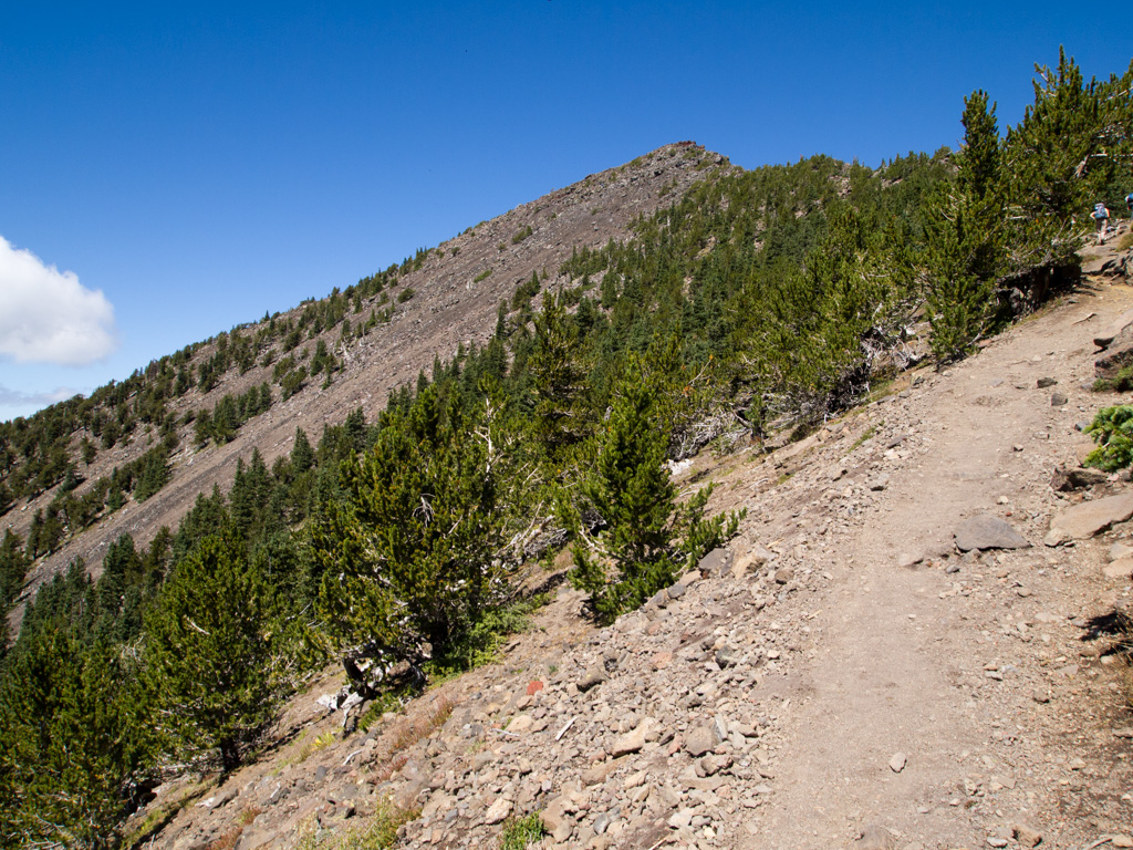
 32 |
 33 |
 34 |
 35 |
 36 |
 37 |
 38 |
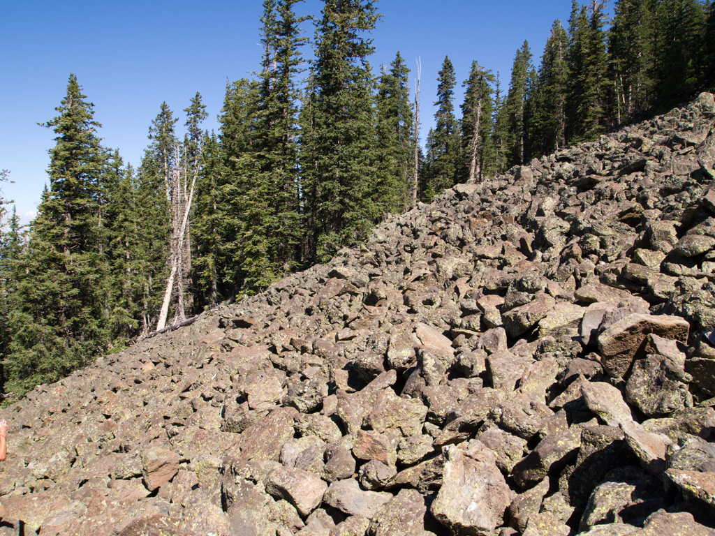
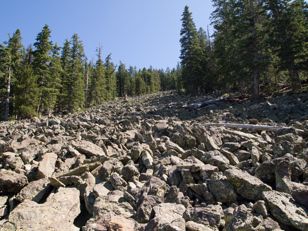
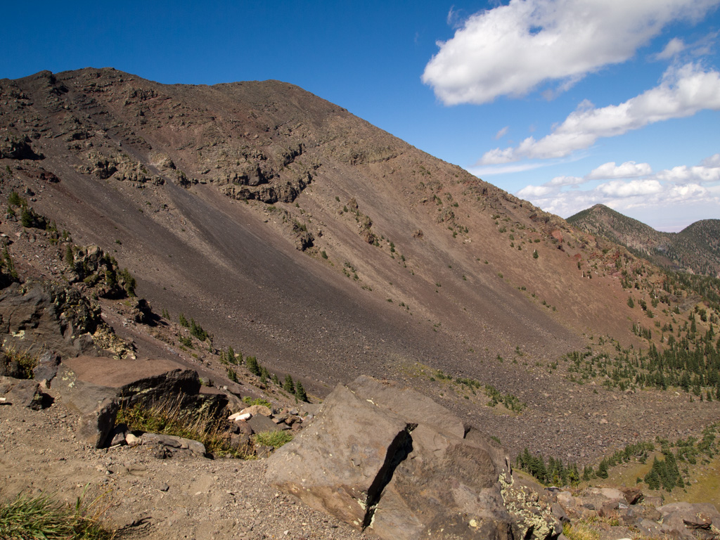
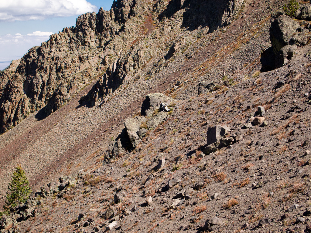
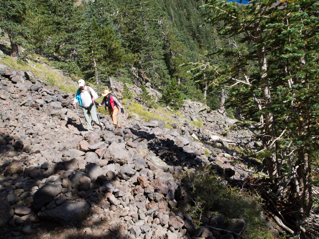
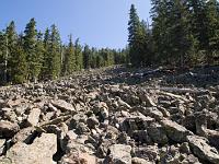
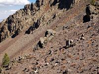
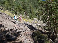
 39 One switchback tirns at the Rockslide, a lava slipout. This is not a ski trail. |
 40 |
 41 |
 42 |
 43 |
 44 |
 45 |
 46 |
 47 |
 48 |
 49 |
 50 |
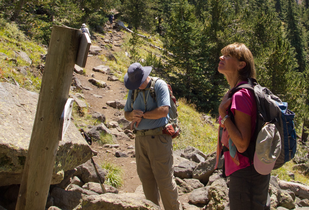
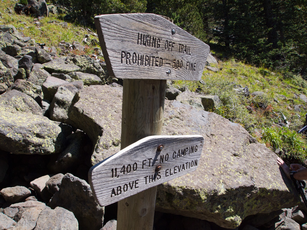
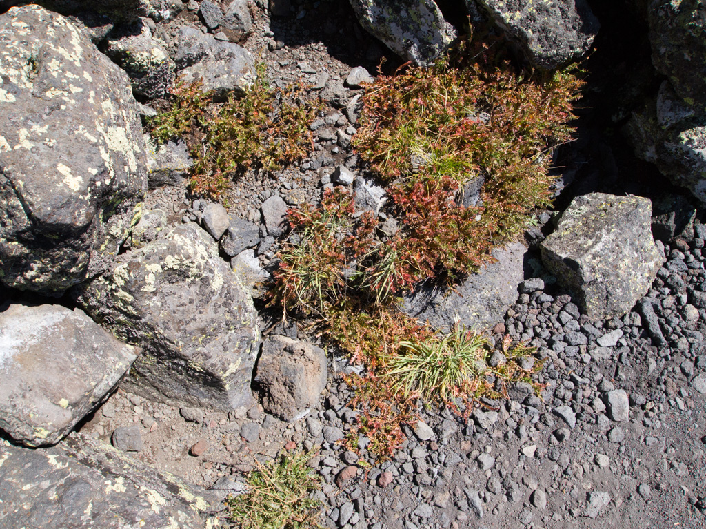
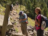
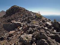
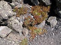
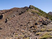
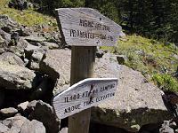 51 This sign appriximately marks the treeline. It's a all-lava landscape above this. |
 52 |
 53 |
 54 |
 55 |
 56 |
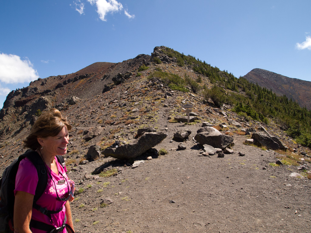
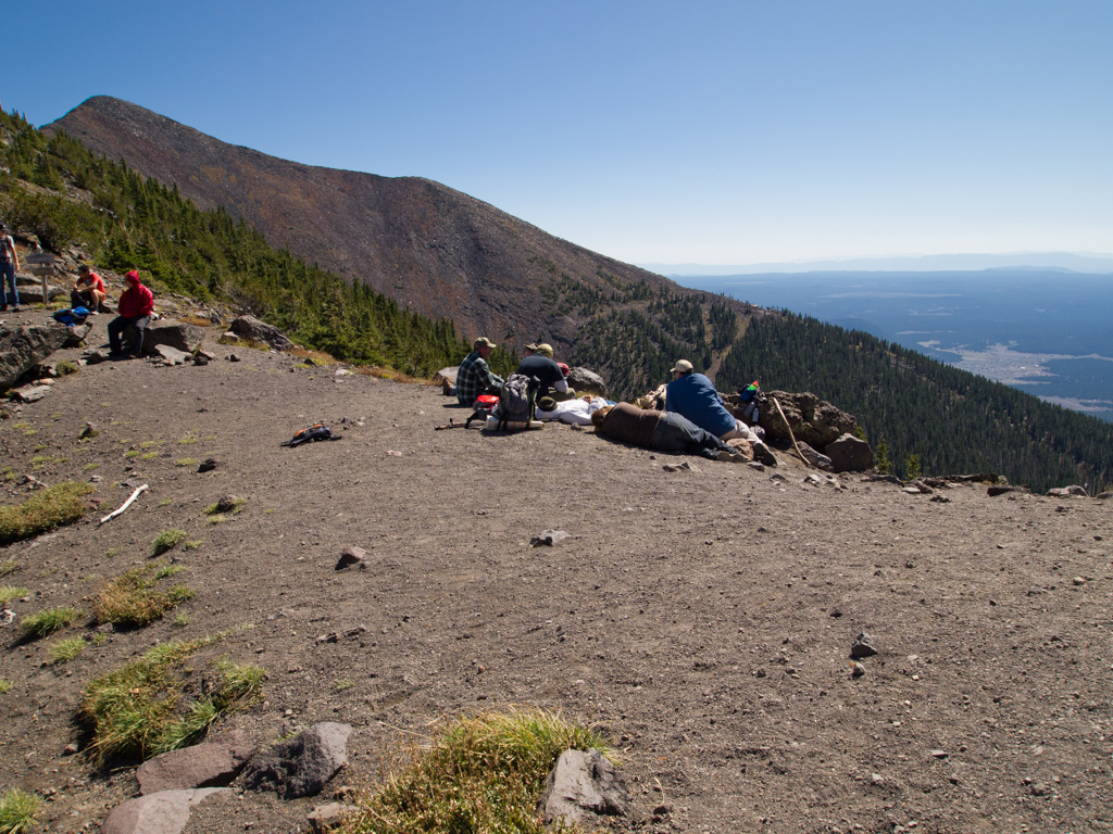
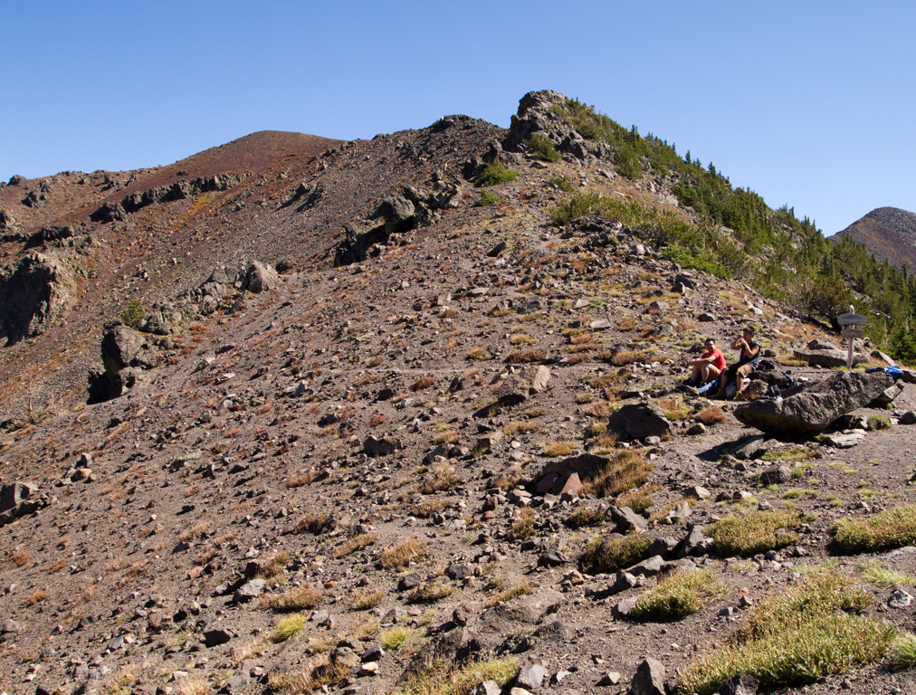
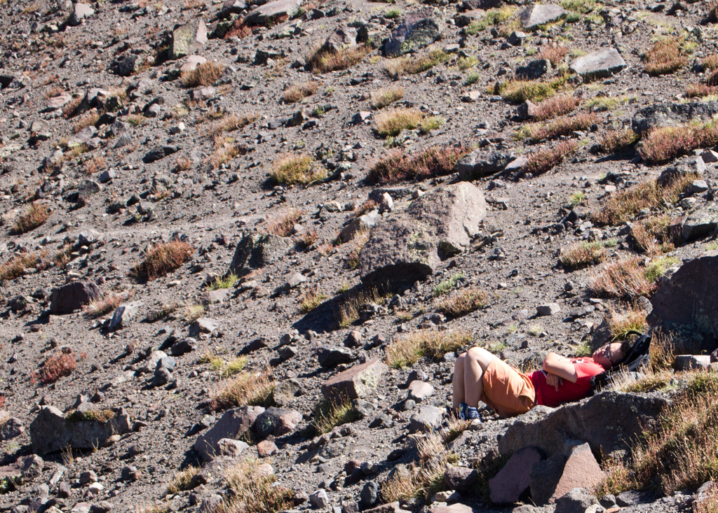
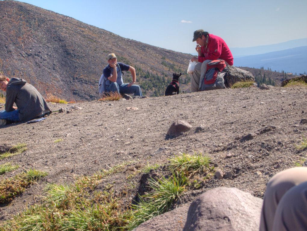
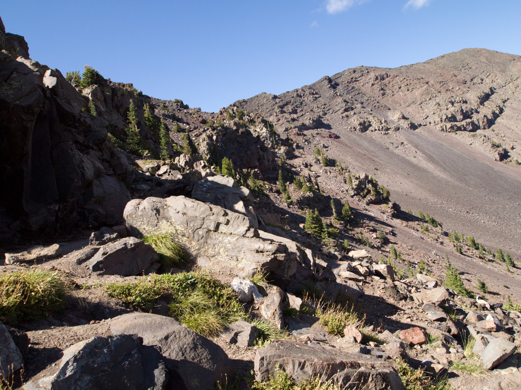
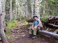
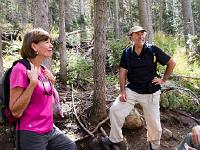
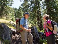
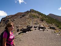
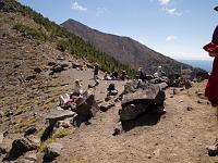
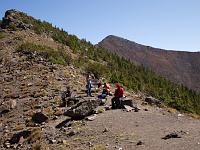
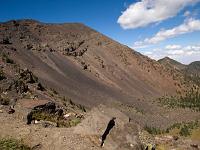
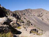
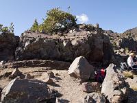
 57 On the Saddle, lowest point of the south crater rim, everybody rests. We have lunch. |
 58 |
 59 |
 60 |
 61 |
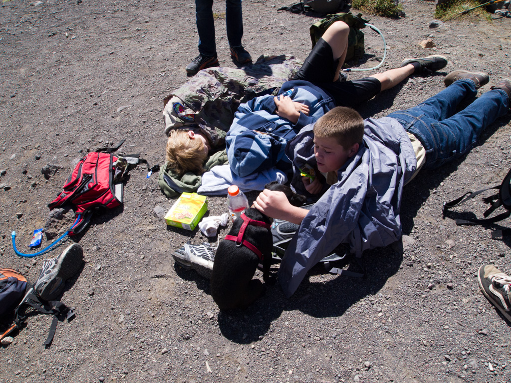
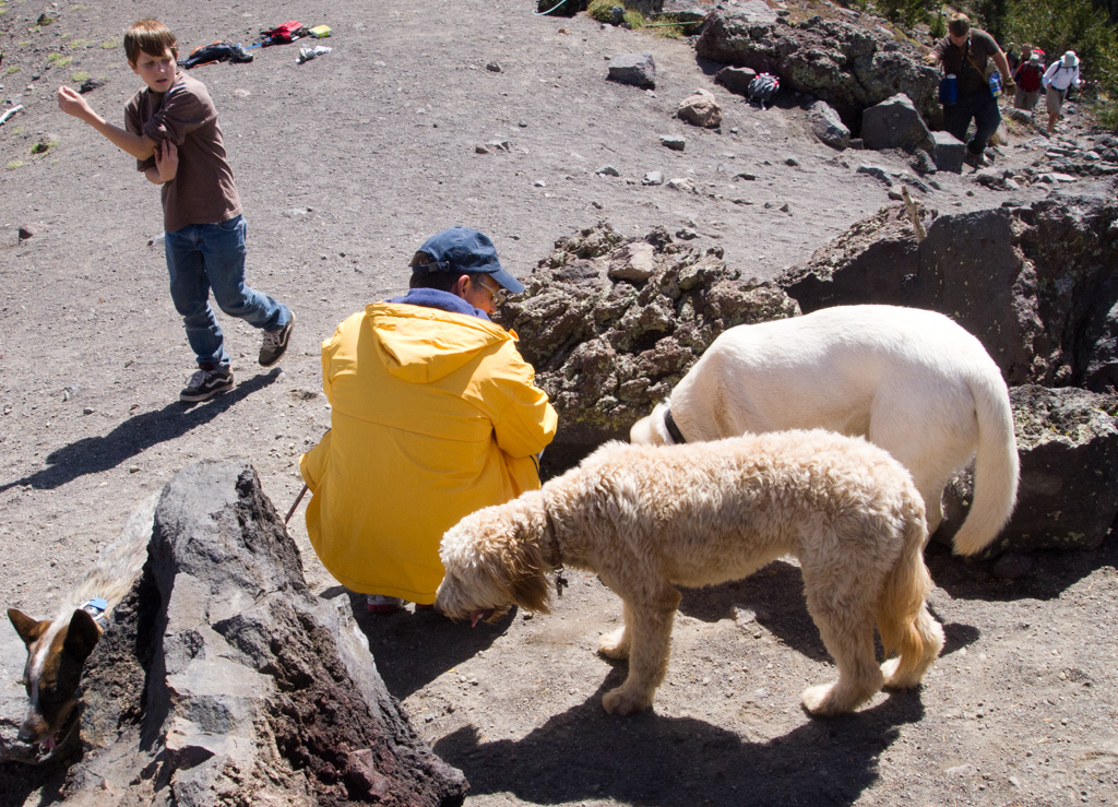
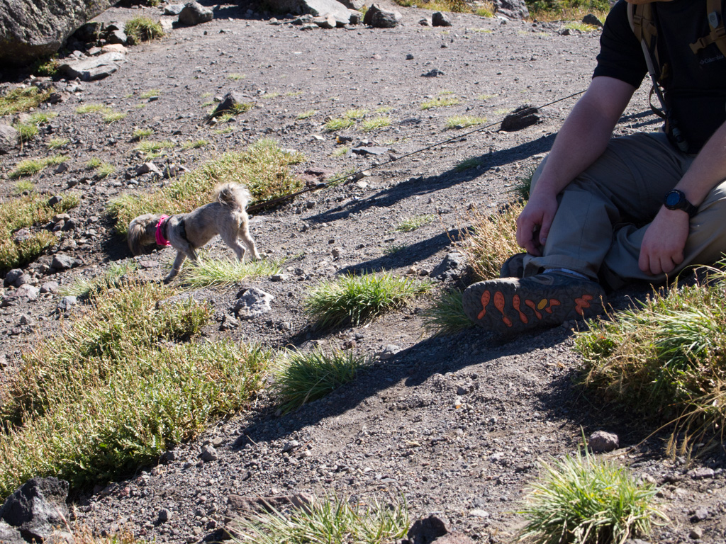
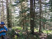
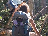
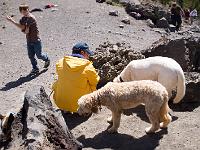 62 The Weatherford is heavily used by dogs. |
 63 |
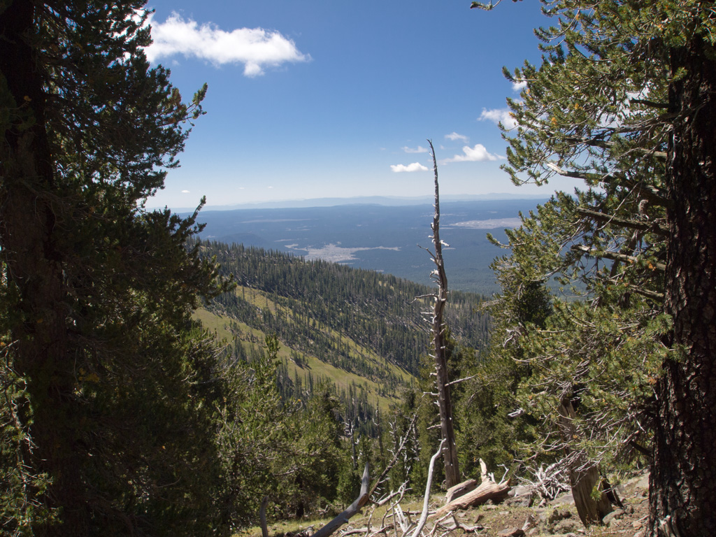
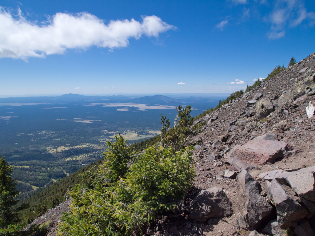
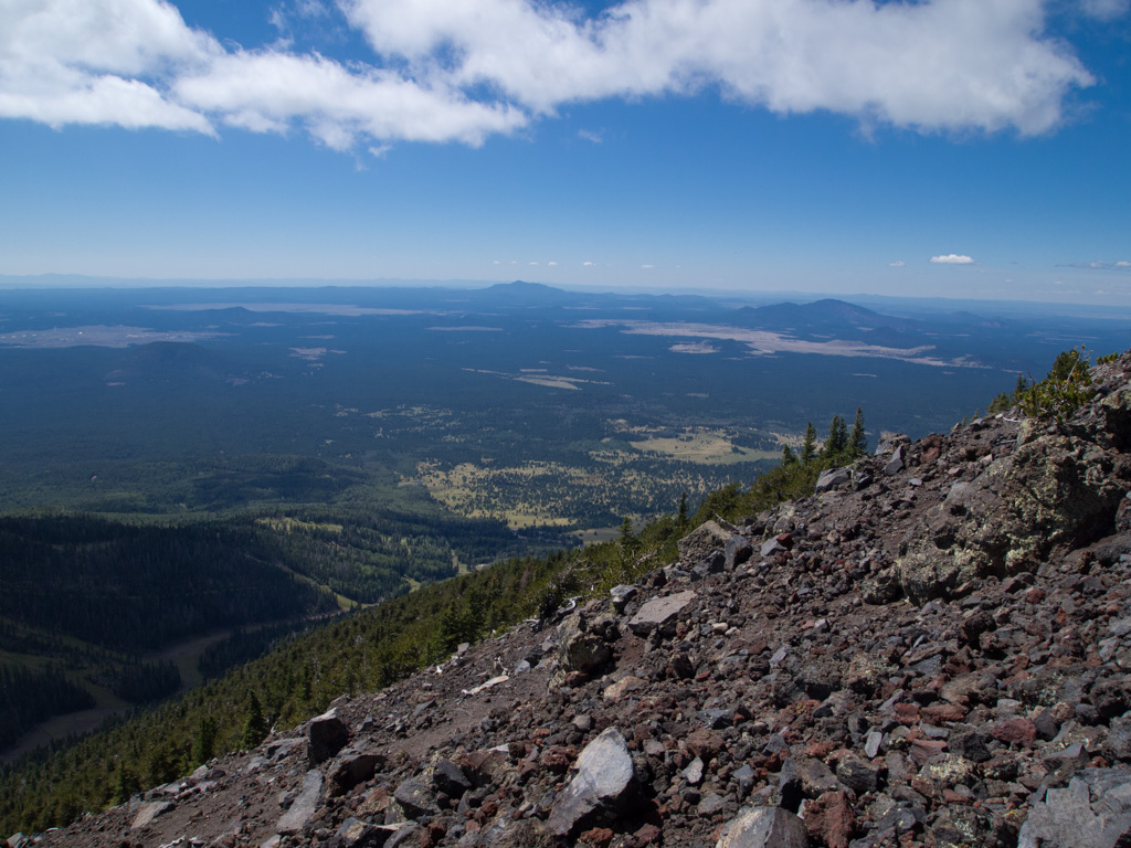
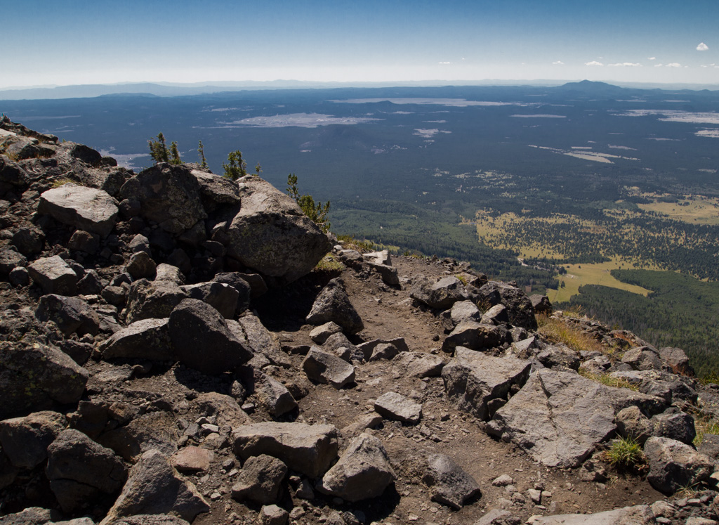
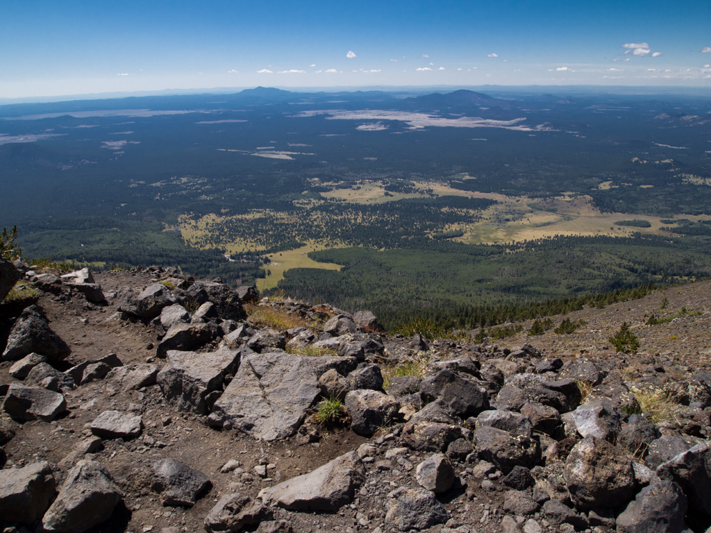
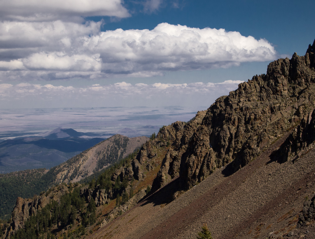
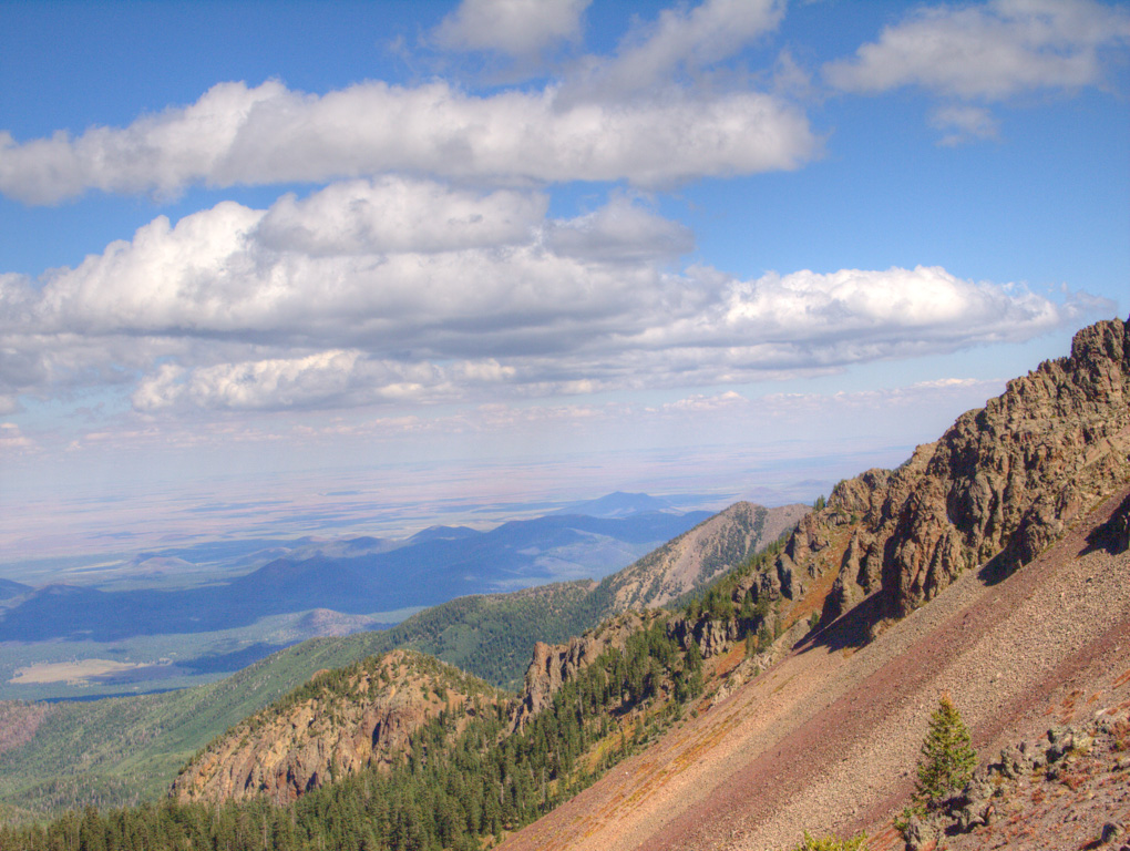
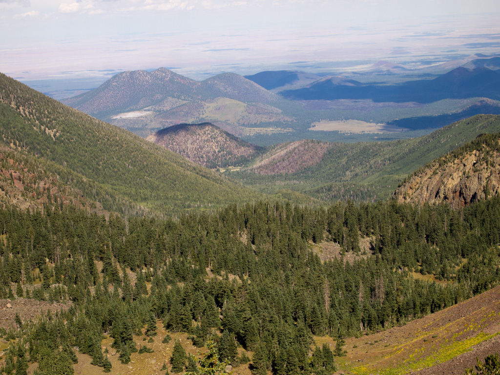
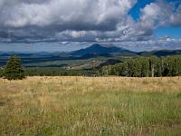
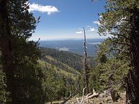
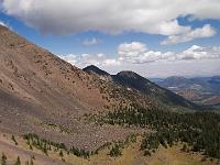
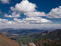
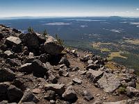
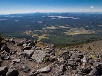
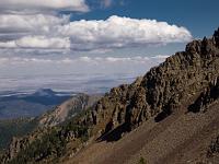
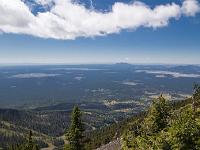 64 Looking south toward Phoenix |
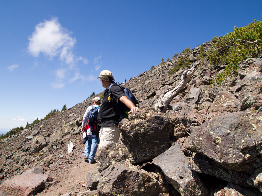
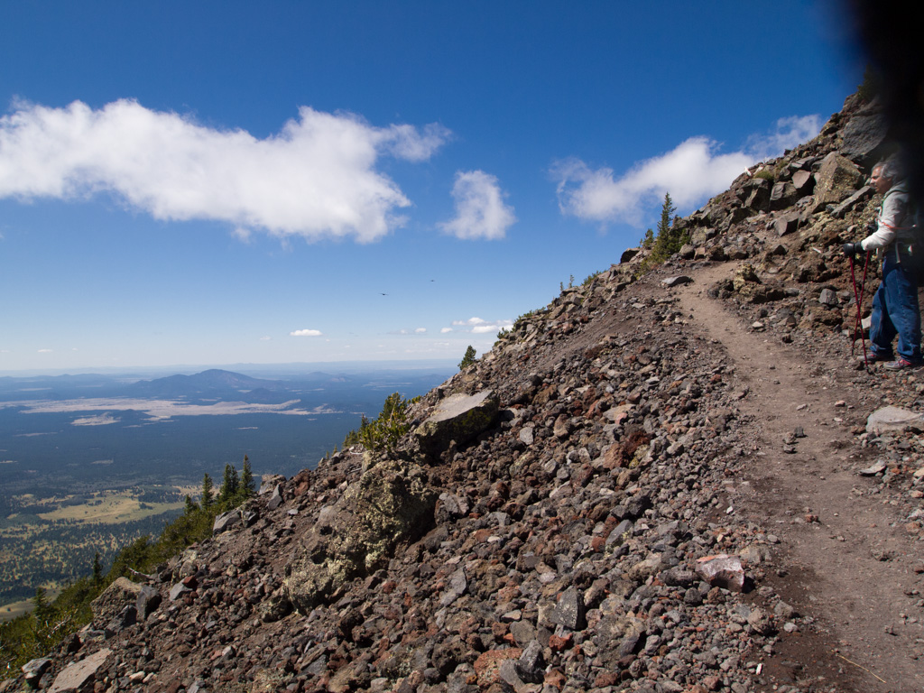
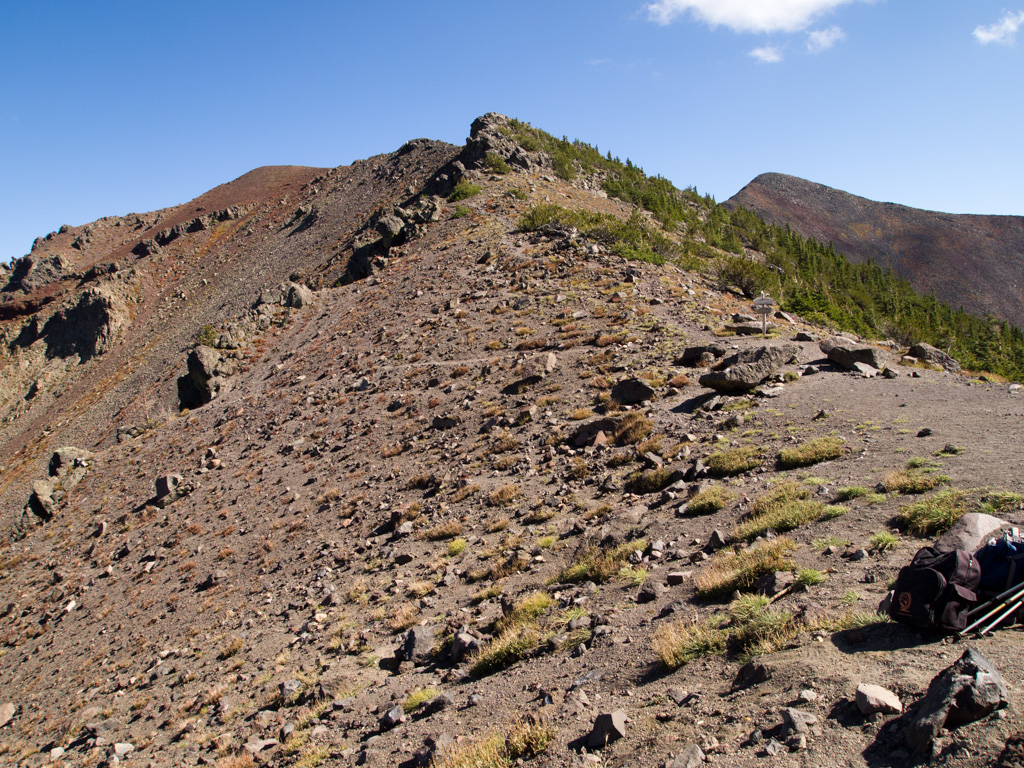
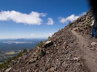
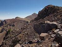
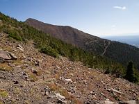
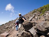 65 Climbing higher around the rim |
 66 |
 67 |
 68 |
 69 |
 70 |
 71 |
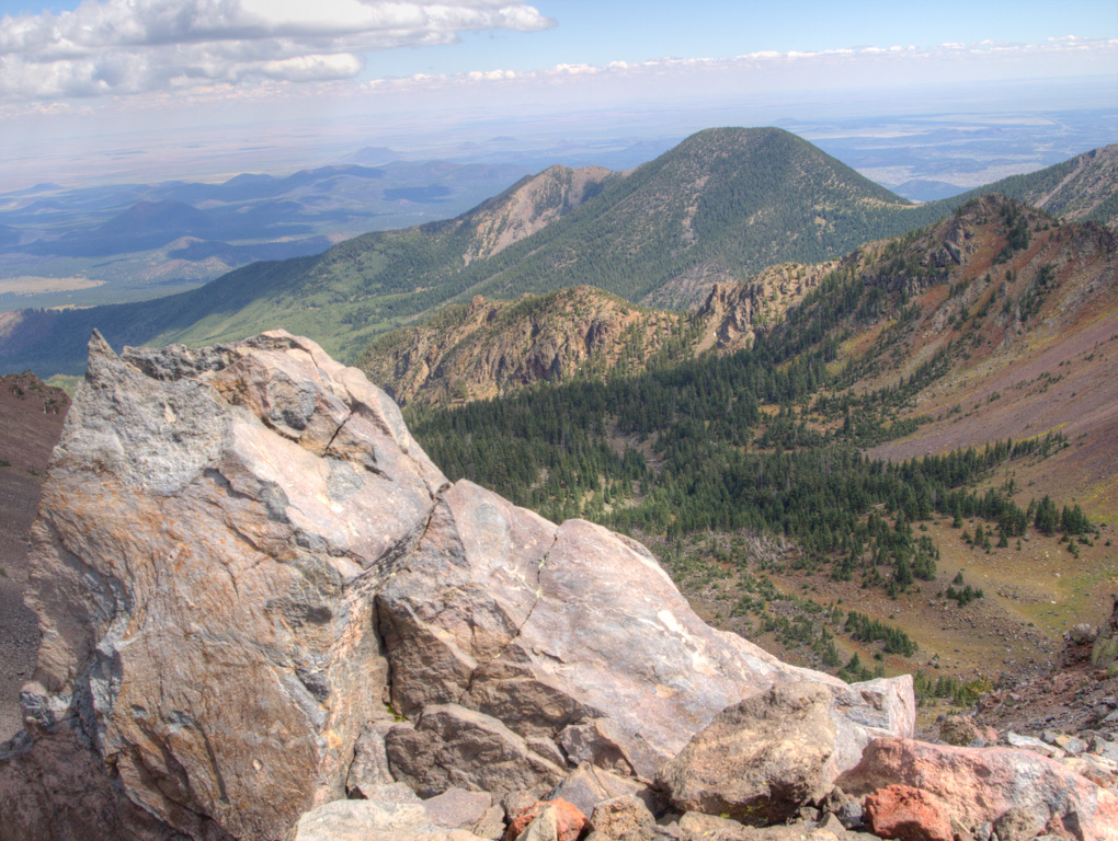
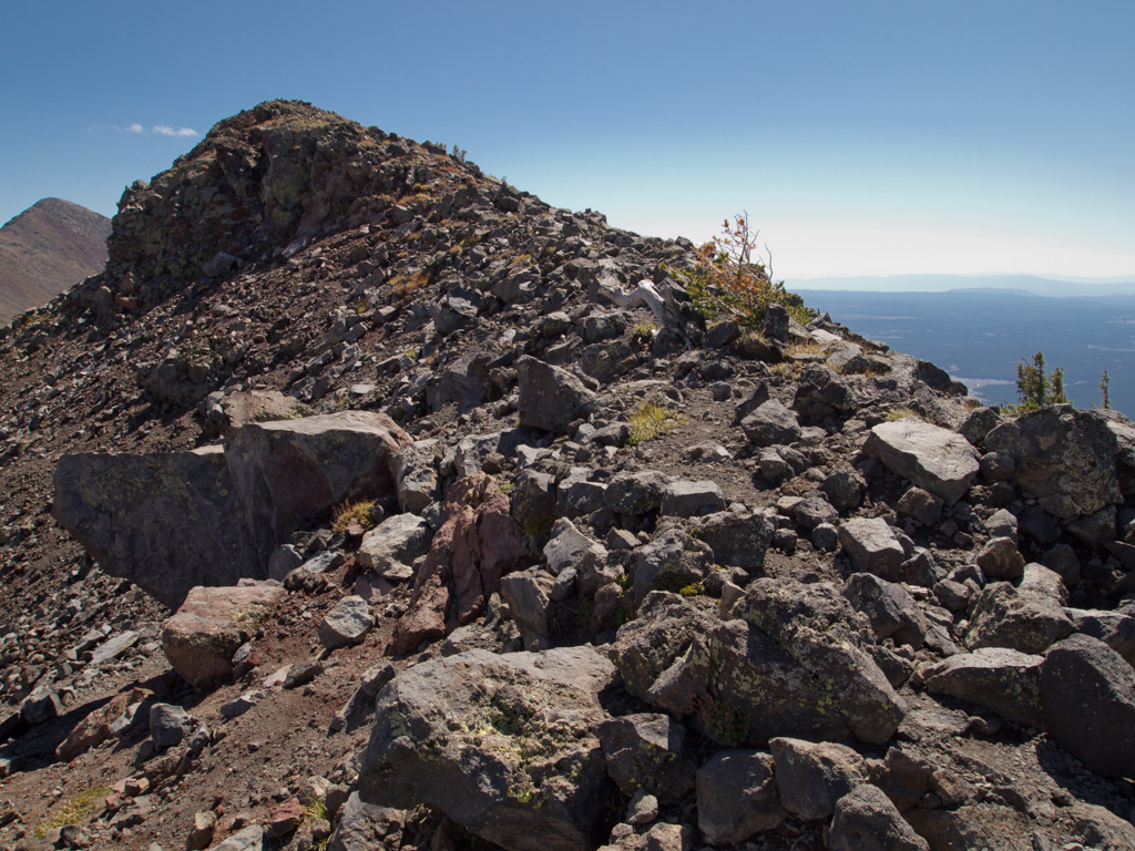
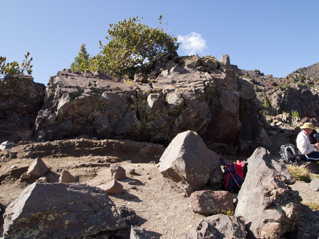
 72 My highest point, 12,100', still 500' short of the summit |
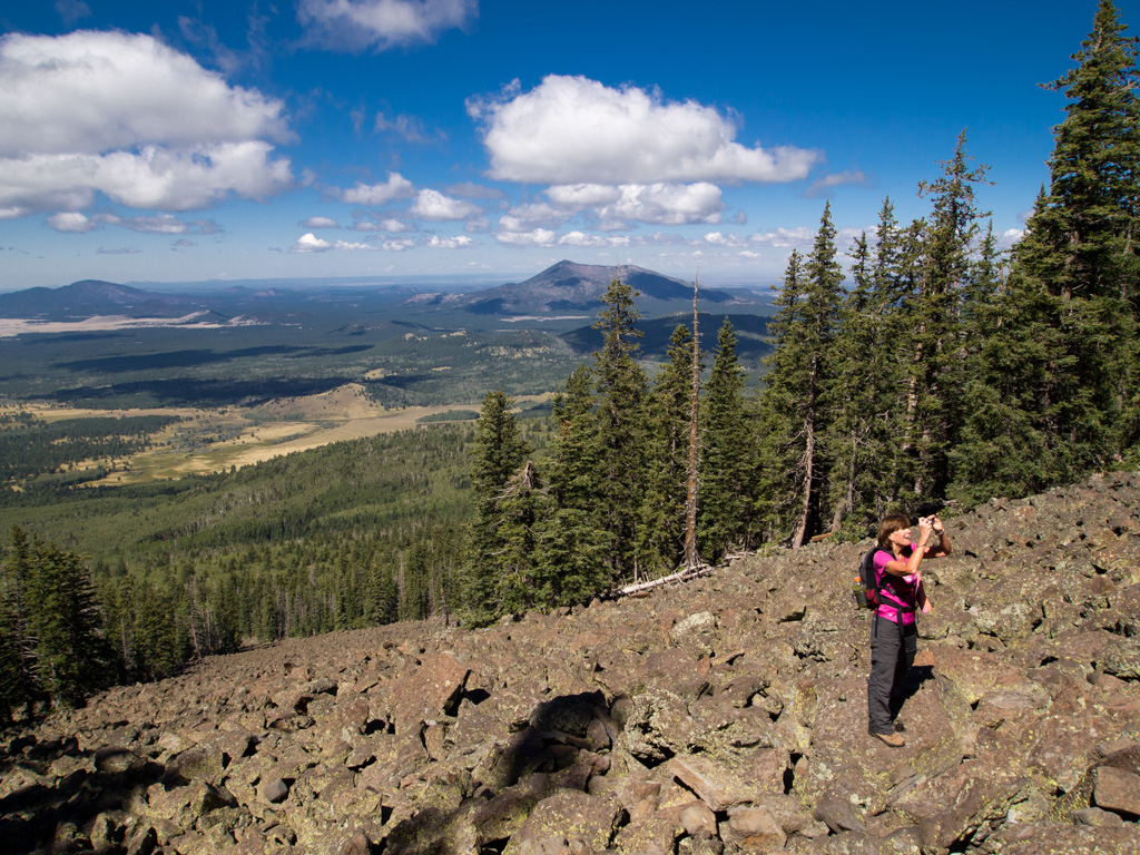
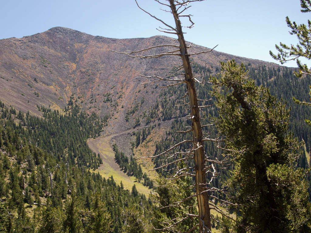
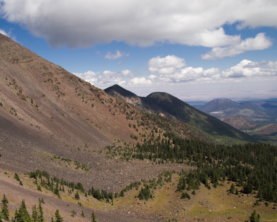
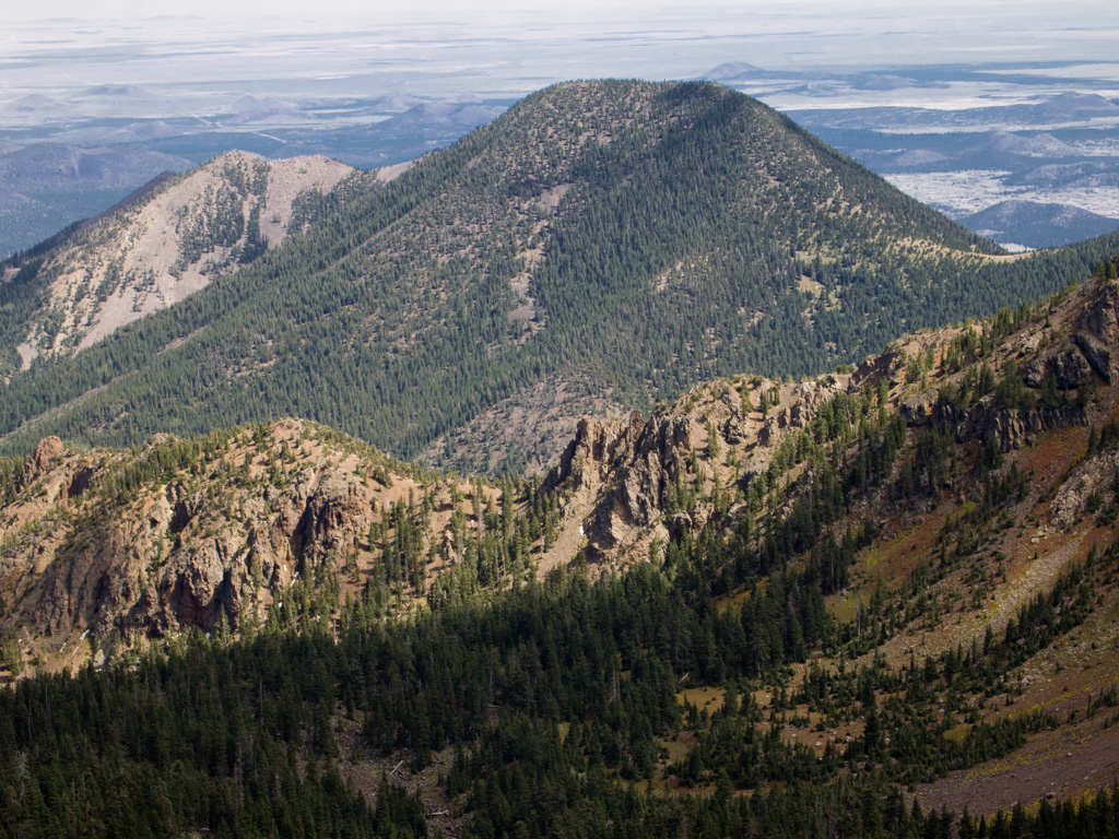
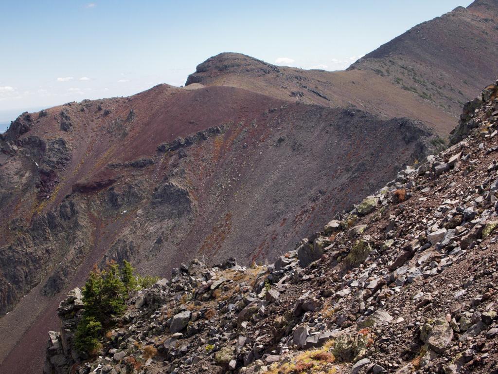
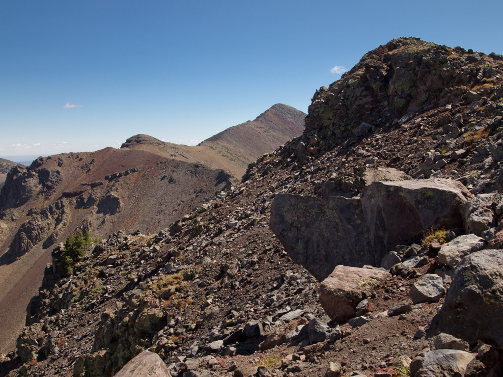
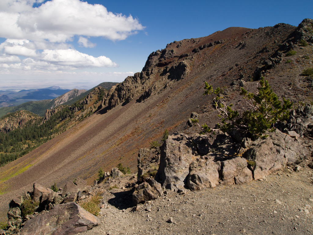
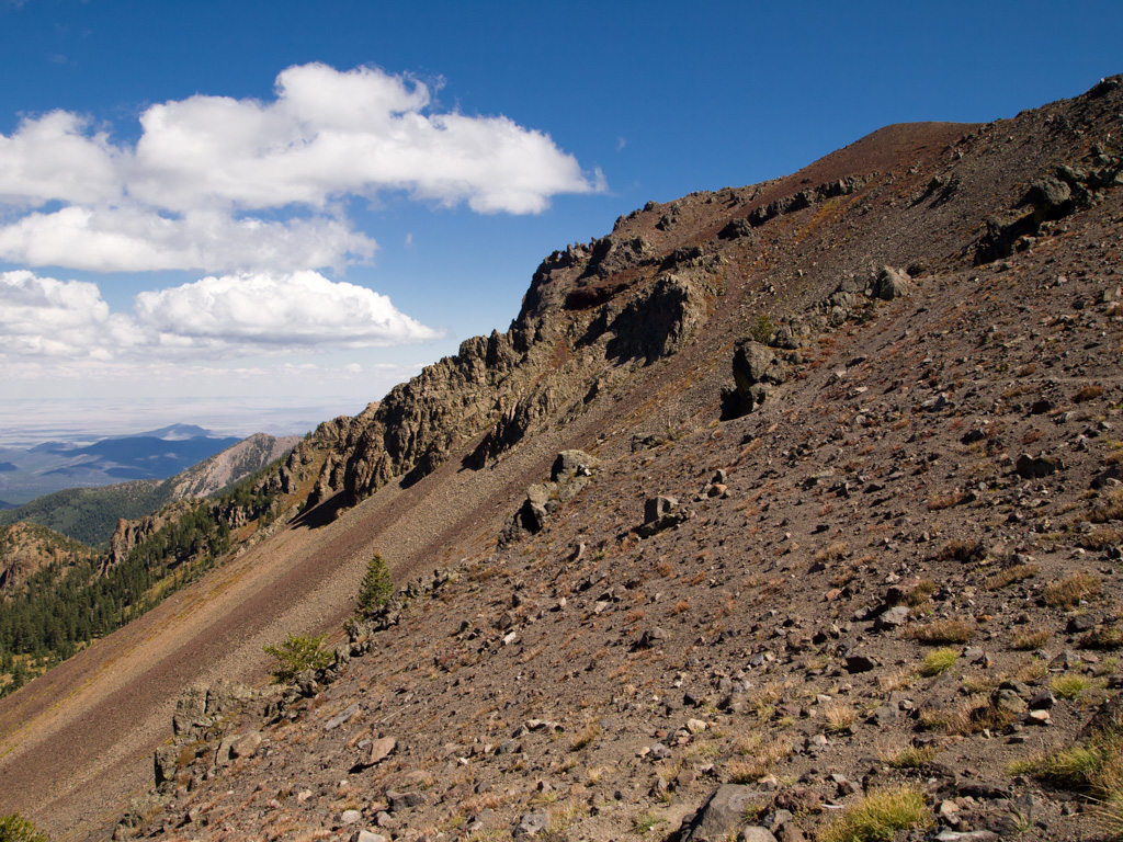
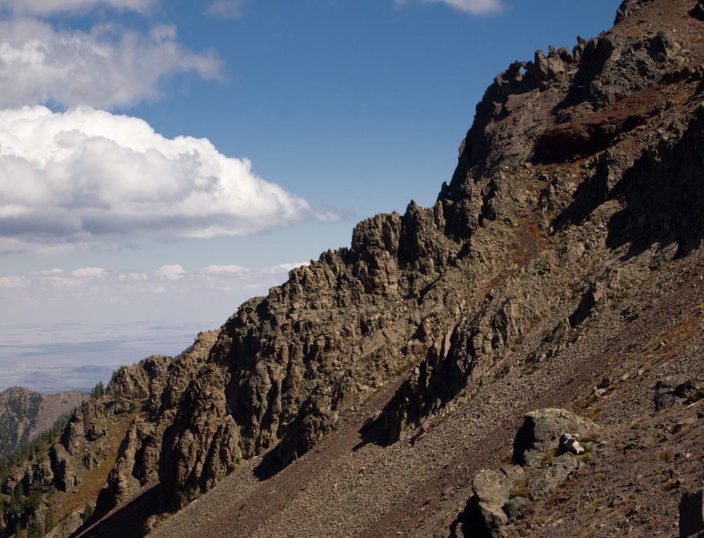
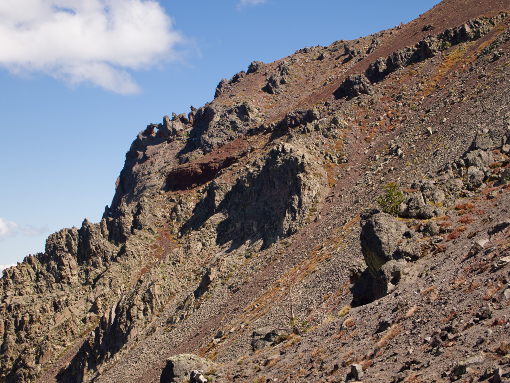
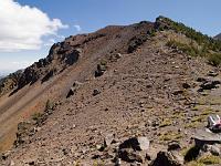
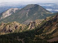
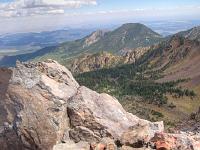
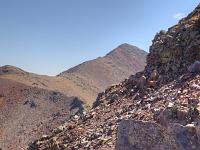
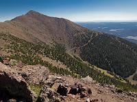
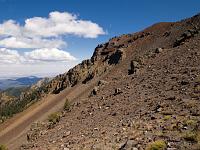
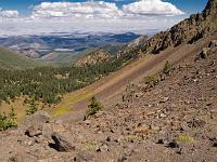
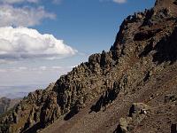
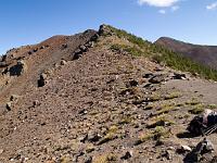
 73 On this ridge the volcanic blowout of the original 20,000' peak is evident |
 74 |
 75 |
 76 |
 77 |
 78 |
 79 |
 80 |
 81 |
 82 |
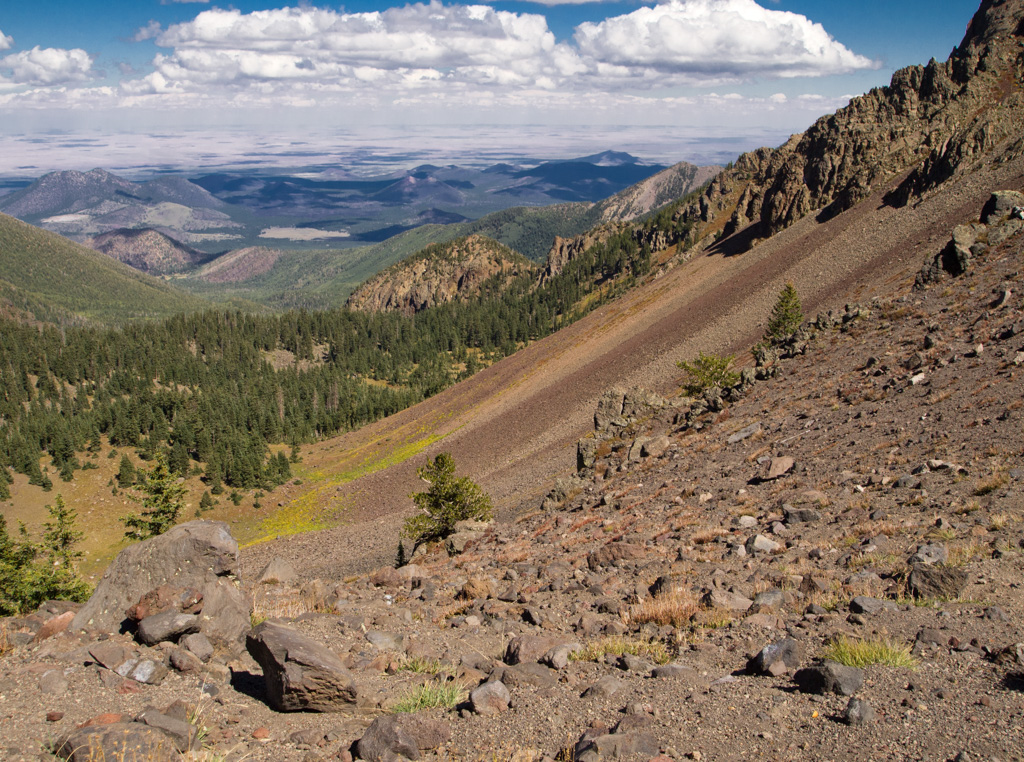
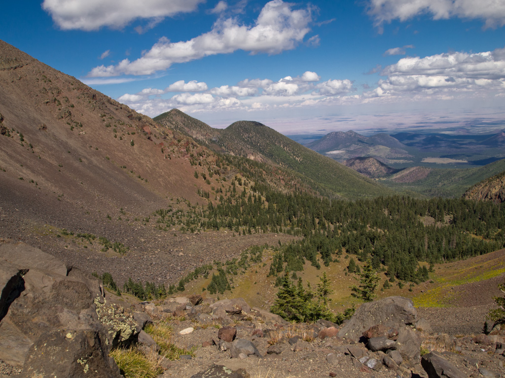
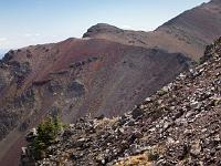
 83 The mountain blew out to the north, just like Mt. St. Helens |
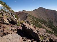 84 |
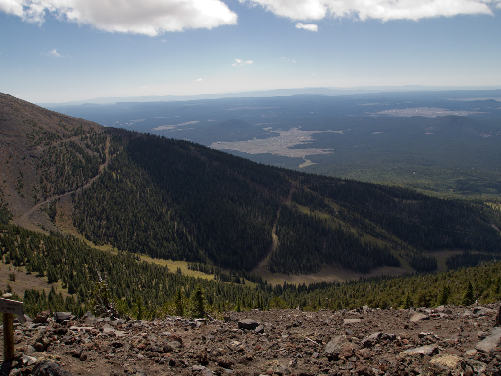
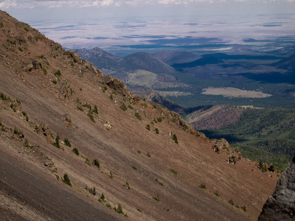
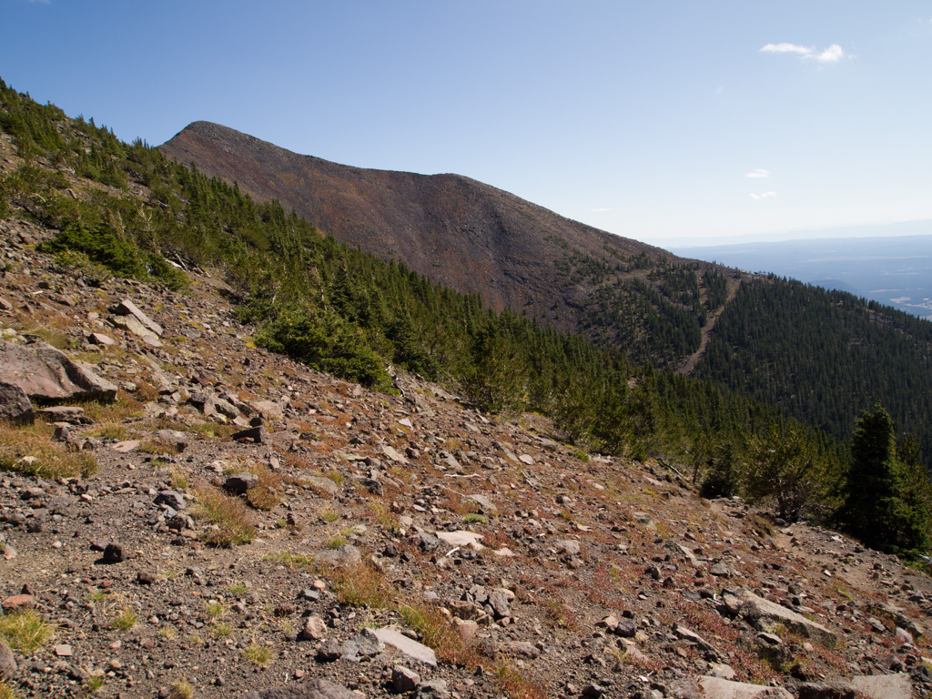
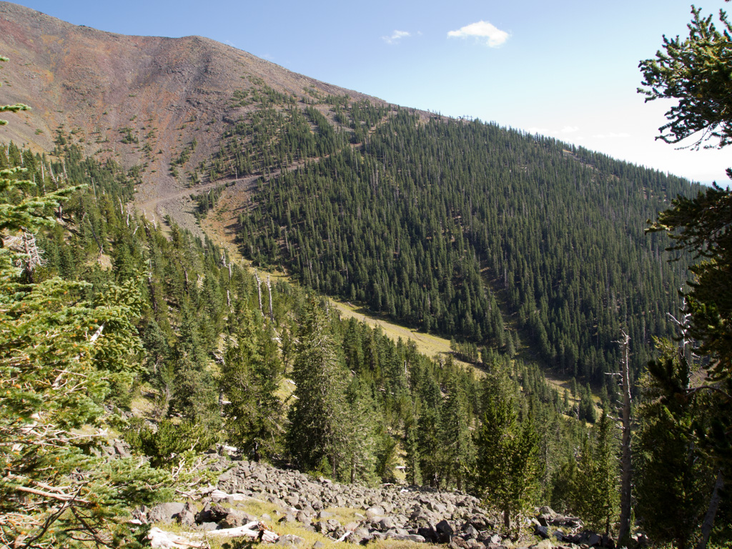
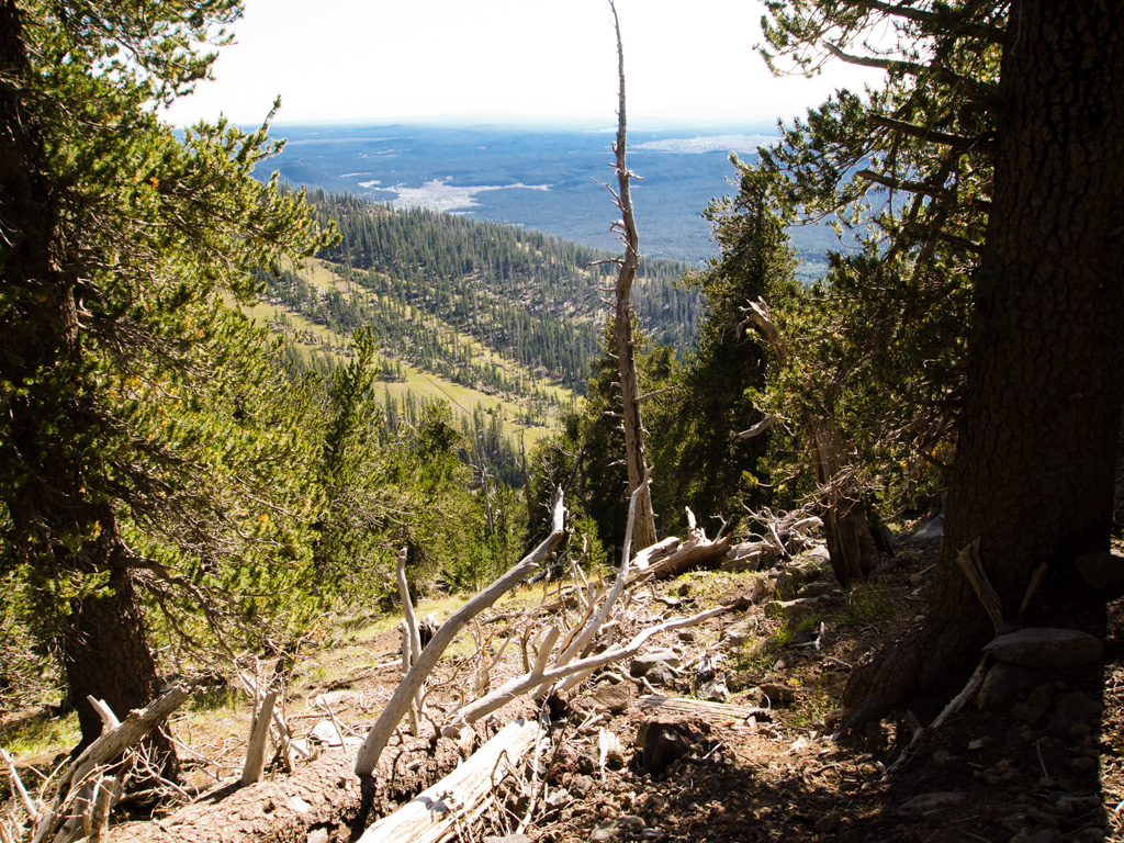
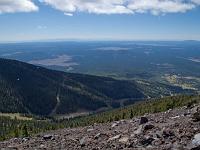
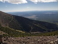
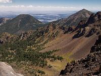
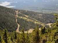 85 Ski runs far below off the Snow Bowl complex |
 86 |
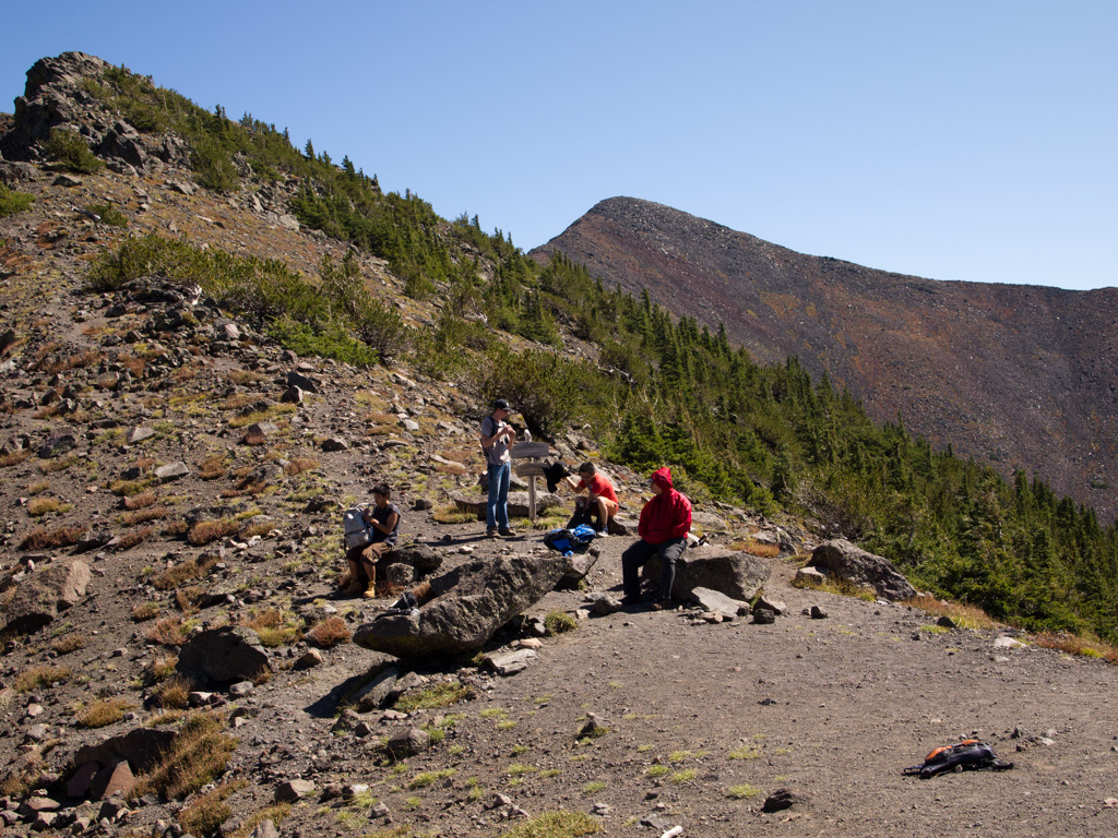
 87 Back at the Saddle |
 88 |
 89 |
 90 |
 91 |
 92 |
 93 |
 94 |
 95 |
 96 |
 97 |
 98 |
 99 |
 100 |
 101 |
 102 |
 103 |
 104 |
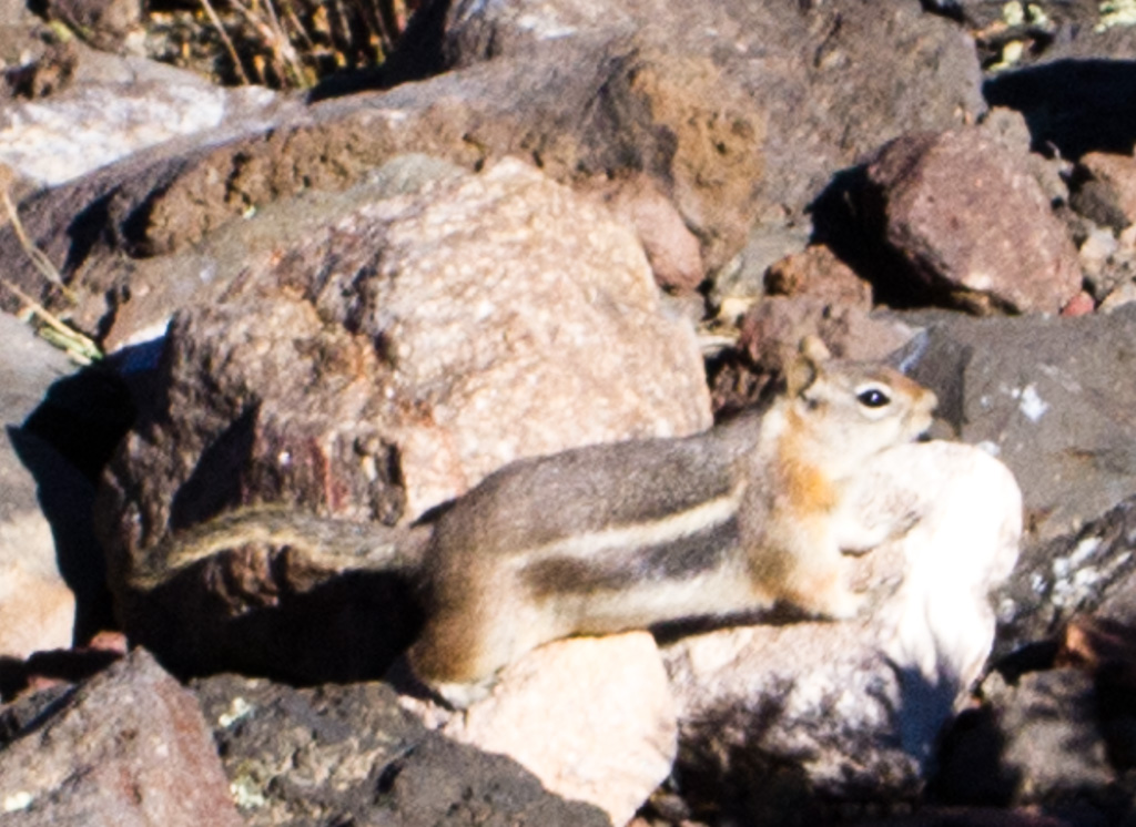
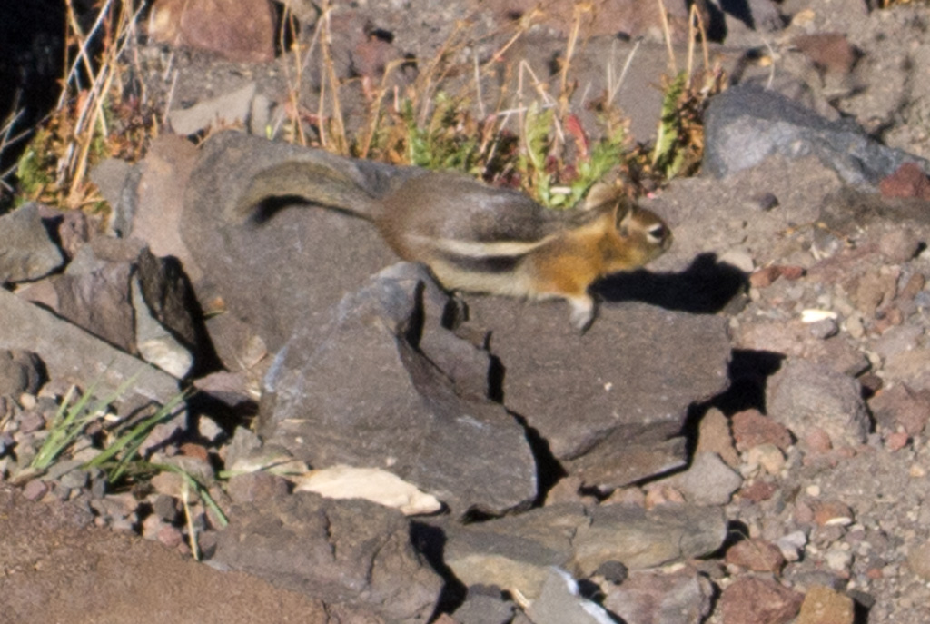
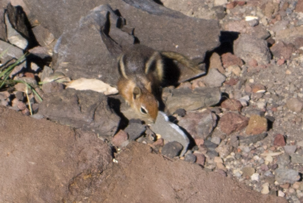
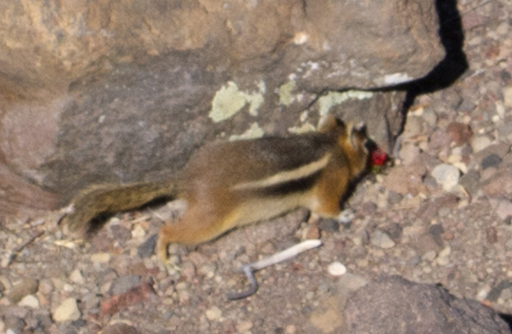
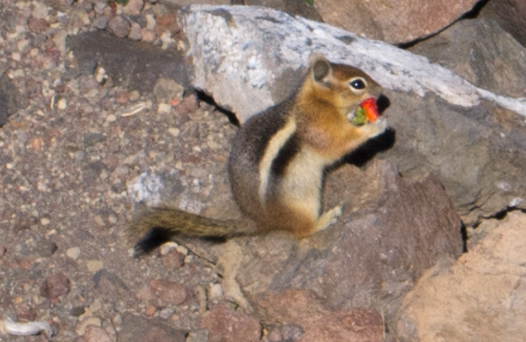
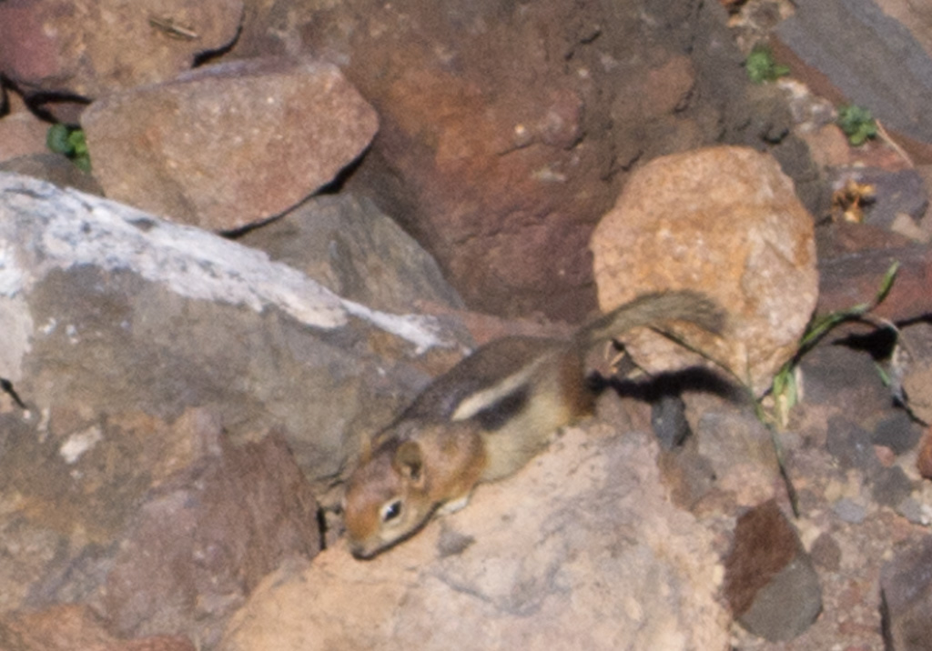
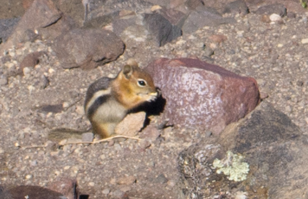
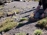
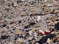
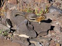
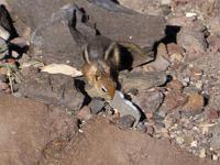
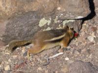
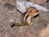
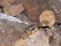
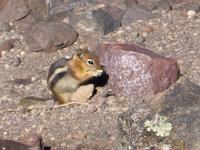
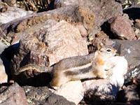 105 Chipmunks forage for the food people drop at the Saddle |
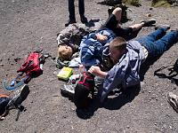
 106 |
 107 |
 108 |
 109 |
 110 |
 111 |
 112 |
 113 |
 114 |
 115 |
 116 Heading back down |
 117 |
 118 |
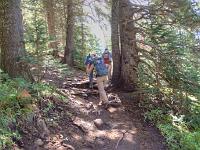
 119 Re-entering the treeline |
 120 |
 121 |
 122 |
 123 |
 124 |
 125 |
 126 |
 127 |
 128 |
 129 |
 130 |
 131 |
 132 |
 133 |
 134 |
 135 |
 136 |
 137 |
 138 |
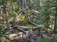
 139 The deadfall area near the bottom of the trail |
 140 |
 141 |
 142 |
 143 |
 144 |
 145 |
 146 |
 147 |
 148 |
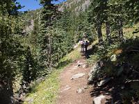
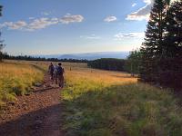 149 The ski run meadow, and we're down |
| | |